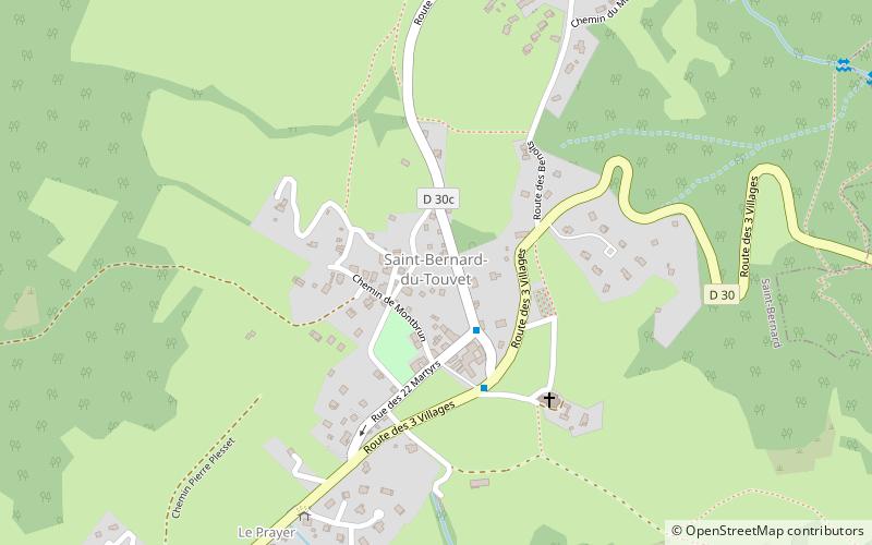
Saint-Bernard
#8559 among destinations in France


Facts and practical information
Saint-Bernard is a former commune in the Isère department in southeastern France. On 1 January 2019, it was merged into the new commune Plateau-des-Petites-Roches. ()
Auvergne-Rhône-AlpesFrance
Saint-Bernard – popular in the area (distance from the attraction)
Nearby attractions include: Dent de Crolles, Grand Som, Château du Touvet, Lances de Malissard.
 Nature, Natural attraction, Mountain
Dent de Crolles, Réserve naturelle nationale des Hauts de Chartreuse
65 min walk • The Dent de Crolles is a karstic mountain of the Chartreuse Mountains range, 17 kilometres north east of Grenoble, Isère, France. It has a characteristic "tooth-like" profile and is easily recognizable in the Isère Valley in the Grenoble area.
 Nature, Natural attraction, Mountain
Grand Som
133 min walk • The Grand Som is a mountain of the Chartreuse Mountains in the French Prealps, in Isère, France. It has a long ridge, unevenly sharp, overlooking the Petit Som, the Col de la Ruchère northwest and the Grande Chartreuse monastery below the cliffs.
 History museum, Museum
Château du Touvet, Le Touvet
81 min walk • The Château du Touvet is a French castle built in the 13th century, with a garden à la française and a water garden built in the 18th century, located between Grenoble and Chambéry in the Isère Department of the Rhône-Alpes Region of France. The gardens are classified among the notable gardens of France by the French Ministry of Culture.
 Nature, Natural attraction, Mountain
Lances de Malissard, Réserve naturelle nationale des Hauts de Chartreuse
48 min walk • The Lances de Malissard are two summits, located in the Chartreuse Mountains in the Department of Isère, in the French Prealps.
 Nature, Natural attraction, Mountain
Chartreuse Mountains
93 min walk • The Chartreuse Mountains are a mountain range in southeastern France, stretching from the city of Grenoble in the south to the Lac du Bourget in the north.
 Arch
ArchTour Isabelle, Réserve naturelle nationale des Hauts de Chartreuse
70 min walk • The Tour Isabelle double arch, also named the Tour Percée arch, is a double natural arch, located in the Parc Naturel Régional de la Chartreuse, Chartreuse Mountains, France. Its span is 32 metres, which makes it the widest natural arch in the Alps.
 Nature, Natural attraction, Mountain pass
Col du Cucheron
105 min walk • The Col du Cucheron, culminating at 1139 m above sea level, is one of the points of the long depression of the "three passes" of the Chartreuse massif linking Saint-Pierre-de-Chartreuse south to Saint-Pierre d'Entremont north.
 Nature, Natural attraction, Valley
Grésivaudan, Tencin
63 min walk • The Grésivaudan is a valley of the French Alps, situated mostly in the Isère. Etymologically, Graisivaudan comes from roots meaning "Grenoble" and "valley".
 45°19'24"N • 5°48'21"E
Église Saint-Hugues-de-Chartreuse, Saint-Pierre-de-Chartreuse
121 min walk • Art museum, Museum, Church
 Park
ParkRéserve naturelle des Hauts de Chartreuse, Réserve naturelle nationale des Hauts de Chartreuse
110 min walk • The Réserve naturelle nationale des Hauts de Chartreuse is a national nature reserve located in Rhône-Alpes in the Chartreuse mountains. Classified in 1997, it covers 4,450 hectares and forms a vast rocky tray bordered by cliffs which has mountain and subalpine environments.

