Col du Cucheron
#2036 among destinations in France


Facts and practical information
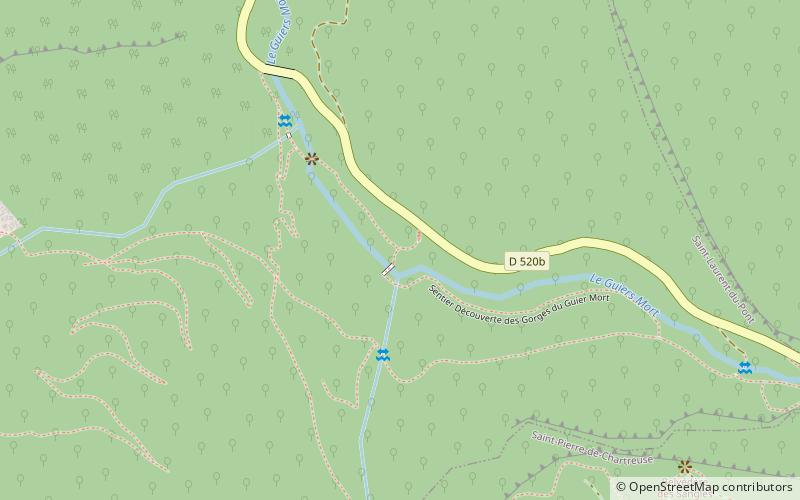
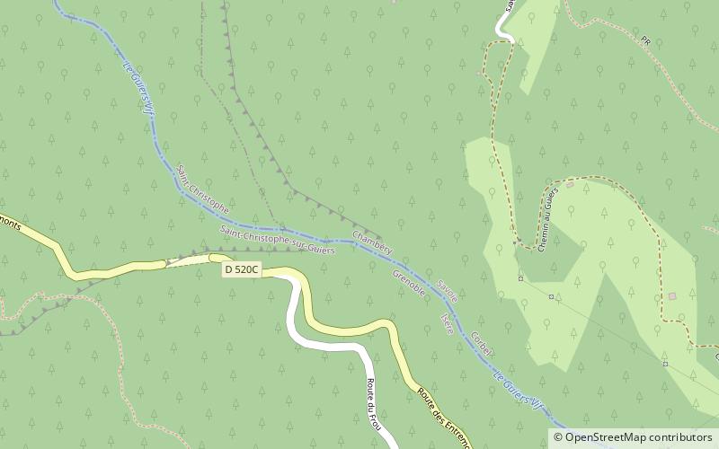
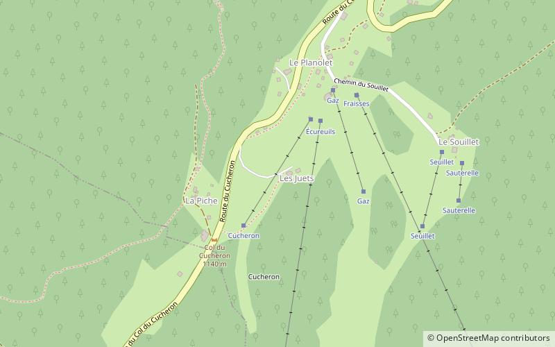
The Col du Cucheron, culminating at 1139 m above sea level, is one of the points of the long depression of the "three passes" of the Chartreuse massif linking Saint-Pierre-de-Chartreuse south to Saint-Pierre d'Entremont north. ()
Auvergne-Rhône-AlpesFrance
Col du Cucheron plan & book
Unleash the traveler in you — discover the cheapest flight deals, find the perfect hotel or hostel nearby, and search for the best car rental prices. Travel at your own pace to discover new places and enjoy your journey.
Col du Cucheron – popular in the area (distance from the attraction)
Nearby attractions include: Dent de Crolles, Gorges du Guiers Mort, Grand Som, Roche Veyrand.
4 miSNature, Natural attraction, MountainDent de Crolles, Réserve naturelle nationale des Hauts de Chartreuse
102 min walk • The Dent de Crolles is a karstic mountain of the Chartreuse Mountains range, 17 kilometres north east of Grenoble, Isère, France. It has a characteristic "tooth-like" profile and is easily recognizable in the Isère Valley in the Grenoble area.
3.8 miWNature, Natural attraction, CanyonGorges du Guiers Mort
98 min walk • Nestled in the heart of the Chartreuse Mountains, the Gorges du Guiers Mort is a breathtaking canyon that offers an escape into the raw beauty of nature. This majestic geological formation in France is carved by the Guiers Mort river, which has shaped the landscape...
1.2 miWNature, Natural attraction, MountainGrand Som
31 min walk • The Grand Som is a mountain of the Chartreuse Mountains in the French Prealps, in Isère, France. It has a long ridge, unevenly sharp, overlooking the Petit Som, the Col de la Ruchère northwest and the Grande Chartreuse monastery below the cliffs.
4.3 miNNature, Natural attraction, MountainRoche Veyrand
110 min walk • Roche Veyrand is a mountain of Savoie, France. It lies in the Chartreuse Mountains range. It has an elevation of 1,429 metres above sea level. It lies between the townships of Corbel and Saint-Pierre-d'Entremont in Savoie.
2.3 miSENature, Natural attraction, MountainLances de Malissard, Réserve naturelle nationale des Hauts de Chartreuse
58 min walk • The Lances de Malissard are two summits, located in the Chartreuse Mountains in the Department of Isère, in the French Prealps.
2.1 miWMonasteryGrande Chartreuse
53 min walk • Grande Chartreuse is the head monastery of the Carthusian religious order. It is located in the Chartreuse Mountains, north of the city of Grenoble, in the commune of Saint-Pierre-de-Chartreuse, France.
1.2 miSNature, Natural attraction, MountainChartreuse Mountains
30 min walk • The Chartreuse Mountains are a mountain range in southeastern France, stretching from the city of Grenoble in the south to the Lac du Bourget in the north.
3.3 miEArchTour Isabelle, Réserve naturelle nationale des Hauts de Chartreuse
85 min walk • The Tour Isabelle double arch, also named the Tour Percée arch, is a double natural arch, located in the Parc Naturel Régional de la Chartreuse, Chartreuse Mountains, France. Its span is 32 metres, which makes it the widest natural arch in the Alps.
2.5 miSWSpecialty museum, History museum, MuseumMusée de la Grande Chartreuse, Saint-Pierre-de-Chartreuse
63 min walk • Created in 1957, the Grande Chartreuse museum aims to enlighten visitors on the Carthusian order, their 900 years of history, their way of life as well as on the Grande Chartreuse and its architecture.
4.2 miNCanyonGorges du Guiers Vif, Parc Naturel Régional de la Chartreuse
109 min walk • The Gorges du Guiers Vif is a canyon located in Isère and Savoie between the towns of Corbel and Saint-Christophe-sur-Guiers, and having as tributary the Guiers Vif.
4.7 miNMountainPointe de Thivelet, Parc Naturel Régional de la Chartreuse
121 min walk • La Pointe de Thivelet is mountain culminating at 1231 m above sea level and located in the township of Corbel in Savoie. It is situated in the Chartreuse Mountains.