Le Freney-d'Oisans, Mont-de-Lans

Gallery (1)
Map
Map
Facts and practical information
Le Freney-d'Oisans is a commune in the Isère department in southeastern France. ()
Address
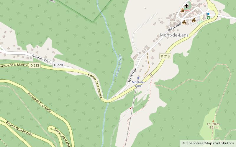
Mont-de-Lans
ContactAdd
Social media
Add
Day trips
Le Freney-d'Oisans is a commune in the Isère department in southeastern France. ()
Mont-de-Lans
Where to next? Visit ![]() Auvergne-Rhône-Alpes region page or discover the top tourist attractions in France.
Auvergne-Rhône-Alpes region page or discover the top tourist attractions in France.


