Lac du Lauvitel, Écrins National Park
Map

Gallery

Facts and practical information
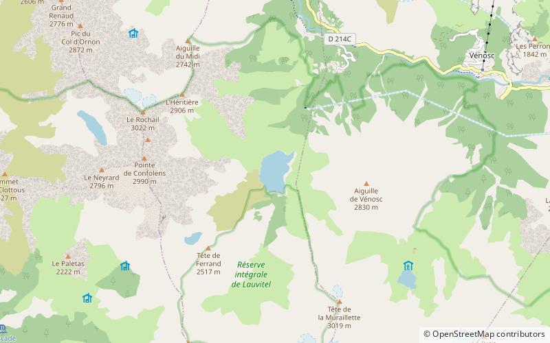
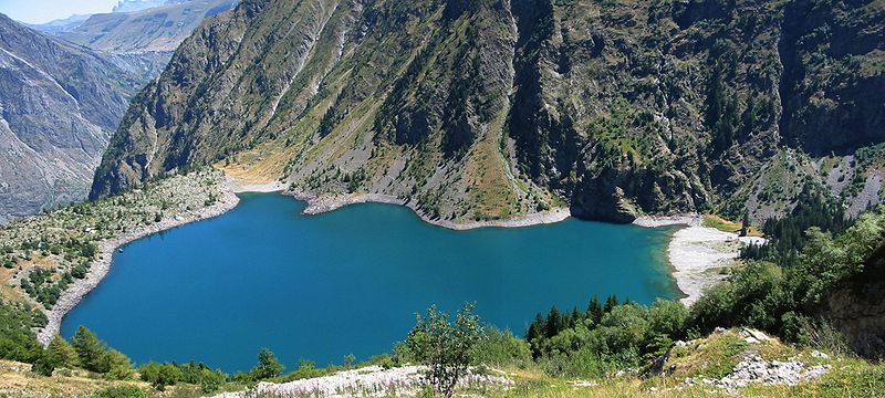
Lac du Lauvitel is a lake in the commune of Le Bourg-d'Oisans in the Isère department of France. At an elevation of 1530 m, the lake has a surface area of 0.35 km². It is situated in the Vénéon valley. It is the largest lake of the Écrins massif and forms one slope of the Oisans region. The lake is accessible by foot from the nearby town of la Danchère. ()
Local name: Lauvitel Area: 86.49 acres (0.1351 mi²)Maximum depth: 223 ftElevation: 4918 ft a.s.l.Coordinates: 44°58'11"N, 6°3'51"E
Address
Écrins National Park
ContactAdd
Social media
Add
Day trips
Lac du Lauvitel – popular in the area (distance from the attraction)
Nearby attractions include: Lac du Chambon, Roche de la Muzelle, Le Rochail, Oisans.


