Tour du Bollwerk, Mulhouse
Map
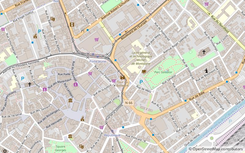
Map

Facts and practical information
The Bollwerk is a tower, a remnant of the old fortifications of the city of Mulhouse, which is located in the Nordfeld district not far from the Europe Tower.
Coordinates: 47°44'55"N, 7°20'32"E
Day trips
Tour du Bollwerk – popular in the area (distance from the attraction)
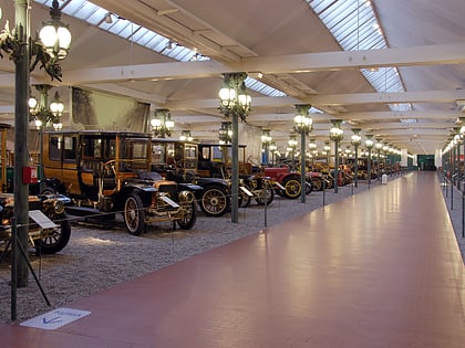
Nearby attractions include: Cité de l'Automobile, Temple Saint-Étienne, Mulhouse Zoological and Botanical Park, Rebberg.
Frequently Asked Questions (FAQ)
Which popular attractions are close to Tour du Bollwerk?
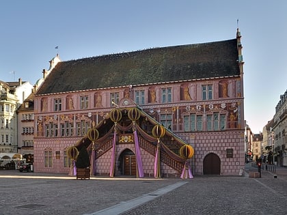
Nearby attractions include Temple Saint-Étienne, Mulhouse (5 min walk), Mairie de Mulhouse, Mulhouse (8 min walk), Immeuble dit Bâtiment annulaire, Mulhouse (9 min walk), Saint Stephen's Church, Mulhouse (11 min walk).
How to get to Tour du Bollwerk by public transport?
The nearest stations to Tour du Bollwerk:
Bus
Tram
Train
Bus
- Montaigne • Lines: 11, 15 (2 min walk)
- Europe Poste • Lines: 11, 15 (4 min walk)
Tram
- Porte Jeune • Lines: 1, 2, 3 (3 min walk)
- République • Lines: 1, 3 (5 min walk)
Train
- Mulhouse-Ville (11 min walk)
- Hasenrain (26 min walk)

