Chapelle Saint-Jean, Mulhouse
Map
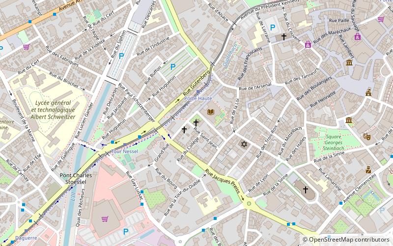
Map

Facts and practical information
The Saint-Jean chapel is a historical monument located in Mulhouse, in the French department of Haut-Rhin.
Coordinates: 47°44'45"N, 7°19'54"E
Address
19 Grand RueFonderie (Fonderie Nord)Mulhouse 68100
Contact
+33 3 89 32 58 58
Social media
Add
Day trips
Chapelle Saint-Jean – popular in the area (distance from the attraction)
Nearby attractions include: Cité de l'Automobile, Temple Saint-Étienne, Mulhouse Zoological and Botanical Park, Belvédère tower.
Frequently Asked Questions (FAQ)
Which popular attractions are close to Chapelle Saint-Jean?
Nearby attractions include Synagogue, Mulhouse (3 min walk), Tour du Diable, Mulhouse (5 min walk), Saint Stephen's Church, Mulhouse (7 min walk), Mairie de Mulhouse, Mulhouse (9 min walk).
How to get to Chapelle Saint-Jean by public transport?
The nearest stations to Chapelle Saint-Jean:
Tram
Bus
Train
Tram
- Porte Haute • Lines: 2, 3 (2 min walk)
- Tour Nessel • Lines: 2, 3 (4 min walk)
Bus
- Gay Lussac • Lines: 10, 20, 652 (5 min walk)
- Manège • Lines: 20 (6 min walk)
Train
- Mulhouse-Ville (15 min walk)
- Hasenrain (17 min walk)

