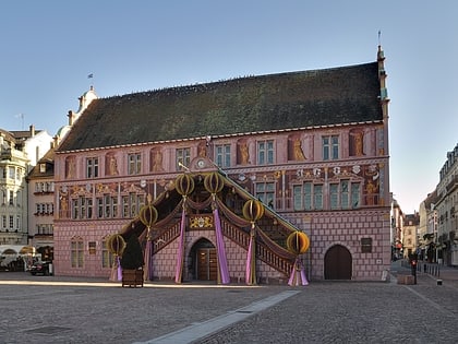
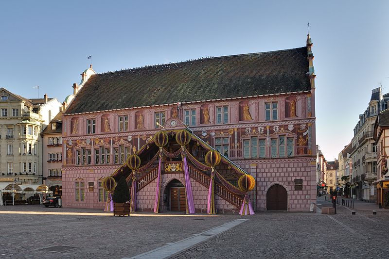
Mairie de Mulhouse, Mulhouse
Map
Gallery
Facts and practical information
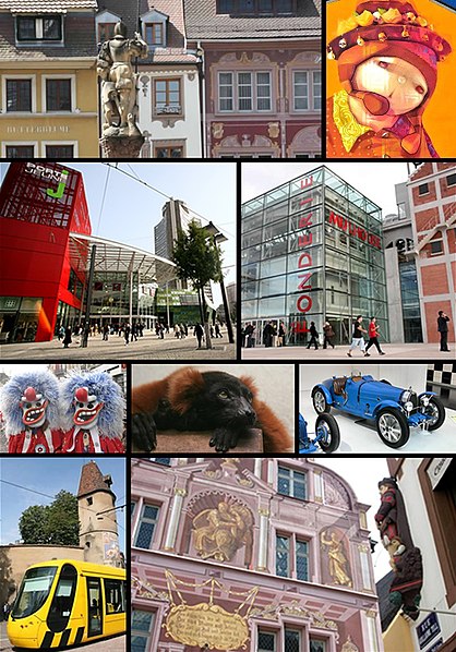
Mulhouse is a city of the Haut-Rhin department, in the Grand Est region, Eastern France, close to the Swiss and German borders. It is the largest city in Haut-Rhin and second largest in Alsace after Strasbourg. ()
Day trips
Mairie de Mulhouse – popular in the area (distance from the attraction)
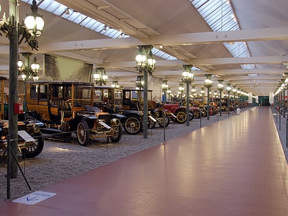
Nearby attractions include: Cité de l'Automobile, Temple Saint-Étienne, Mulhouse Zoological and Botanical Park, Rebberg.
Frequently Asked Questions (FAQ)
Which popular attractions are close to Mairie de Mulhouse?
Nearby attractions include Temple Saint-Étienne, Mulhouse (6 min walk), Tour du Bollwerk, Mulhouse (8 min walk), Synagogue, Mulhouse (8 min walk), Chapelle Saint-Jean, Mulhouse (9 min walk).
How to get to Mairie de Mulhouse by public transport?
The nearest stations to Mairie de Mulhouse:
Tram
Bus
Train
Tram
- Mairie • Lines: 2, 3 (1 min walk)
- Porte Jeune • Lines: 1, 2, 3 (6 min walk)
Bus
- Franklin • Lines: 11, 16 (5 min walk)
- Grand Rex • Lines: 11, 16 (6 min walk)
Train
- Mulhouse-Ville (15 min walk)
- Hasenrain (25 min walk)
