Mont Rachais, Grenoble
Map

Map

Facts and practical information
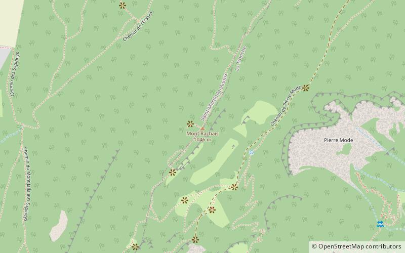
Mount Rachais constitutes the southern end of the Chartreuse massif.
Coordinates: 45°13'7"N, 5°44'0"E
Address
Grenoble
ContactAdd
Social media
Add
Day trips
Mont Rachais – popular in the area (distance from the attraction)
Nearby attractions include: Casamaures, Saint-Martin-le-Vinoux, La Tronche, Bouqueron Castle.
Frequently Asked Questions (FAQ)
How to get to Mont Rachais by public transport?
The nearest stations to Mont Rachais:
Bus
Bus
- Mas Caché • Lines: 56 (15 min walk)
- Lachal • Lines: 56 (15 min walk)


