Église Saint-Étienne de Montluel, Montluel
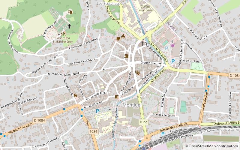
Map

Map

Facts and practical information
The Saint-Etienne de Montluel church is an ancient Catholic church located in Montluel in the current Saint-Etienne district. The only remaining vestige of the church is a porch.
Coordinates: 45°51'5"N, 5°3'21"E
Address
Montluel
ContactAdd
Social media
Add
Day trips
Église Saint-Étienne de Montluel – popular in the area (distance from the attraction)
Nearby attractions include: Musée d'art et d'histoire locale de Montluel, Ancien hospice de Montluel et son apothicairerie, Chapelle Saint-Barthélémy, Église Notre-Dame-de-l'Assomption de La Boisse.
Frequently Asked Questions (FAQ)
Which popular attractions are close to Église Saint-Étienne de Montluel?
Nearby attractions include Musée d'art et d'histoire locale de Montluel, Montluel (2 min walk), Ancien hospice de Montluel et son apothicairerie, Montluel (3 min walk), Collégiale de la Nativité-de-Notre-Dame, Montluel (4 min walk), Moulin Girard, Montluel (6 min walk).


