Musée d'art et d'histoire locale de Montluel, Montluel

Gallery (1)
Map
Map
Facts and practical information
The Museum of art and local history of Montluel, located in Montluel in the department of Ain, is a museum presenting mainly collections of objects relating to the rural and agricultural life in Côtière, between 1900 and 1930.
The museum is housed in a 16th century building and is administered by the Montluel History and Heritage Committee.
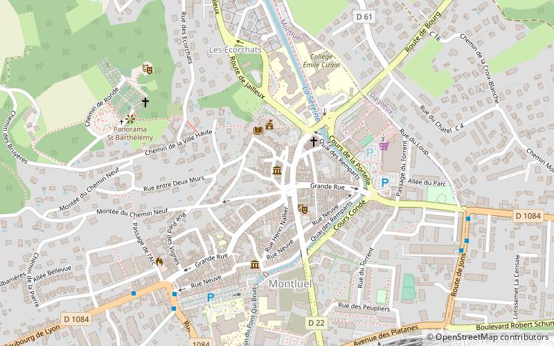
Coordinates: 45°51'8"N, 5°3'23"E
Address
Montluel
ContactAdd
Social media
Add
Day trips
Musée d'art et d'histoire locale de Montluel – popular in the area (distance from the attraction)
Nearby attractions include: Ancien hospice de Montluel et son apothicairerie, Chapelle Saint-Barthélémy, Église Notre-Dame-de-l'Assomption de La Boisse, Collégiale de la Nativité-de-Notre-Dame.


Frequently Asked Questions (FAQ)
Which popular attractions are close to Musée d'art et d'histoire locale de Montluel?
Nearby attractions include Église Saint-Étienne de Montluel, Montluel (2 min walk), Collégiale de la Nativité-de-Notre-Dame, Montluel (2 min walk), Ancien hospice de Montluel et son apothicairerie, Montluel (4 min walk), Moulin Girard, Montluel (5 min walk).