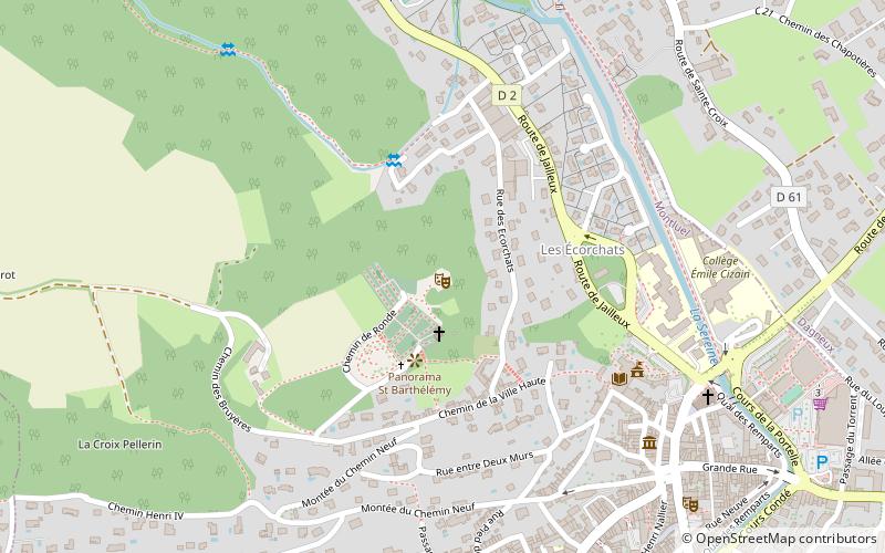
Théâtre de verdure de Montluel, Montluel
Map

Map

Facts and practical information
The castle of Montluel is an ancient fortified castle, founded at the end of the eleventh century or the beginning of the twelfth century by the family of Montluel, center of the lordship of Montluel and the eponymous châtellenie, whose ruins stand on the township of Montluel in the department of Ain in the region Auvergne-Rhône-Alpes.
The ruins of the castle are now used as a green theater.
Coordinates: 45°51'16"N, 5°3'9"E
Address
Montluel
ContactAdd
Social media
Add
Day trips
Théâtre de verdure de Montluel – popular in the area (distance from the attraction)
Nearby attractions include: Musée d'art et d'histoire locale de Montluel, Ancien hospice de Montluel et son apothicairerie, Chapelle Saint-Barthélémy, Église Notre-Dame-de-l'Assomption de La Boisse.
Frequently Asked Questions (FAQ)
Which popular attractions are close to Théâtre de verdure de Montluel?
Nearby attractions include Chapelle Saint-Barthélémy, Montluel (3 min walk), Moulin Girard, Montluel (4 min walk), Musée d'art et d'histoire locale de Montluel, Montluel (7 min walk), Collégiale de la Nativité-de-Notre-Dame, Montluel (7 min walk).


