Refuge du Mont Thabor
#2665 among destinations in France


Facts and practical information
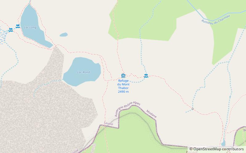
Refuge du Mont Thabor is a refuge in the Alps. ()
Auvergne-Rhône-AlpesFrance
Refuge du Mont Thabor – popular in the area (distance from the attraction)
Nearby attractions include: Mont Thabor, Pointe des Cerces, Maurienne, Punta Bagnà.
 Nature, Natural attraction, Mountain
Mont Thabor
48 min walk • Mont Thabor is an alluring peak nestled in the heart of the French Alps, renowned for its panoramic views and pristine natural beauty. This majestic mountain, part of the Massif des Cerces range, stands at an elevation of 3,178 meters, offering a challenging yet...
 Nature, Natural attraction, Mountain
Pointe des Cerces
172 min walk • Pointe des Cerces is a mountain of Savoie, France. It lies in the Massif des Cerces range. It has an elevation of 3,097 metres above sea level.
 Nature, Natural attraction, Valley
Maurienne, Modane
159 min walk • Maurienne is one of the provinces of Savoy, corresponding to the arrondissement of Saint-Jean-de-Maurienne in France. It is also the original name of the capital of the province, now Saint-Jean-de-Maurienne.
 Nature, Natural attraction, Mountain
Punta Bagnà
144 min walk • Punta Bagnà or Cime du Grand Vallon is a mountain of Savoie, France and of the Province of Turin, Italy. It lies in the Cottian Alps range. It has an elevation of 3,129 metres above sea level.
 Nature, Natural attraction, Mountain
Pic du Thabor
48 min walk • The Pic du Thabor is a mountain of Savoie and Hautes-Alpes, France. It lies in the Massif des Cerces range. It has an elevation of 3,207 metres above sea level, it stands closed to another summit, the Mont Thabor, culminating at 3,178 metres above sea level.
 Hiking, Hiking trail
Grande Traversée des Alpes
20 min walk • The Grande Traversée des Alpes is a long-distance hiking trail in the French Alps, connecting Thonon-les-Bains on Lake Geneva with Nice. It constitutes the southernmost part of the Sentier de Grande Randonnée GR5.
 45°11'36"N • 6°39'26"E
MUSEOBAR musée de la frontière de Modane, Modane
143 min walk • Specialty museum, Museum
 Locality
Valmeinier
161 min walk • Valmeinier is a commune in the Savoie department in the Auvergne-Rhône-Alpes region in south-eastern France. Valmeinier, located at the foot of the Mont Thabor, 3207 meters, is a medium size ski resort.
 Nature, Natural attraction, Natural feature
Massif des Cerces
93 min walk • The massif des Cerces is a region of the French Alps on the Franco-Italian border. On the French side it lies in the departements of Hautes-Alpes and Savoie.
 Nature, Natural attraction, Mountain
Aiguille Rouge
148 min walk • L'Aguille Rouge is a 2,545 metres high mountain of the Cottian Alps, located on the Main chain of the Alps NW of the Col de l'Échelle.
 Locality
Villarodin-Bourget
183 min walk • Villarodin-Bourget is a commune in the Savoie department in the Auvergne-Rhône-Alpes region in south-eastern France.
