Aiguille Rouge
#4928 among destinations in France


Facts and practical information
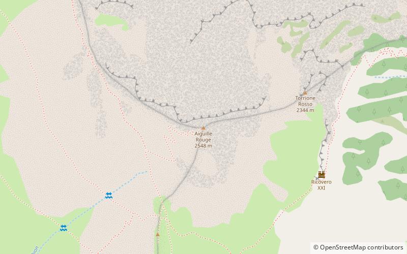
L'Aguille Rouge is a 2,545 metres high mountain of the Cottian Alps, located on the Main chain of the Alps NW of the Col de l'Échelle. ()
Provence-Alpes-Côte d'AzurFrance
Aiguille Rouge – popular in the area (distance from the attraction)
Nearby attractions include: Mont Thabor, Fort de l'Olive, Ouvrage Col de la Buffère, Pic du Thabor.
 Nature, Natural attraction, Mountain
Mont Thabor
157 min walk • Mont Thabor is an alluring peak nestled in the heart of the French Alps, renowned for its panoramic views and pristine natural beauty. This majestic mountain, part of the Massif des Cerces range, stands at an elevation of 3,178 meters, offering a challenging yet...
 Forts and castles
Fort de l'Olive
86 min walk • The Fort de l'Olive is a fortification in the vicinity of Briançon in the Dauphiné region of southeastern France. Built in 1881 it was originally called the Ouvrage du Bois des Gasquets, it was the third and final fort built near Briançon as part of the Séré de Rivières system of fortifications in the 1870s and 1880s.
 Forts and castles
Ouvrage Col de la Buffère
144 min walk • Ouvrage Col de Buffere is a lesser work of the Maginot Line's Alpine extension, the Alpine Line. The ouvrage consists of one combat block at an altitude of 2,393 metres on the Col de la Buffère. Additional blocks were planned but not built or were left incomplete.
 Nature, Natural attraction, Mountain
Pic du Thabor
165 min walk • The Pic du Thabor is a mountain of Savoie and Hautes-Alpes, France. It lies in the Massif des Cerces range. It has an elevation of 3,207 metres above sea level, it stands closed to another summit, the Mont Thabor, culminating at 3,178 metres above sea level.
 Forts and castles
Ouvrage Col du Granon
146 min walk • Ouvrage Col du Granon is a lesser work of the Maginot Line's Alpine extension, the Alpine Line. The ouvrage consists of one entry block, one infantry block and one observation block covering the Col du Granon as part of the defenses of Briançon and Grenoble.
 Nature, Natural attraction, Valley
Vallée de la Clarée
143 min walk • The Vallée de la Clarée is a scenic valley in the French Alps near to Montgenèvre, Briançon and the French-Italian border. The Clarée river runs through the valley. The mountains on either side are part of the Massif des Cerces. To the west they are between 2800 and 2900m high, while on the east side they are between 2300 and 2400m high.
 Hiking, Hiking trail
Grande Traversée des Alpes
129 min walk • The Grande Traversée des Alpes is a long-distance hiking trail in the French Alps, connecting Thonon-les-Bains on Lake Geneva with Nice. It constitutes the southernmost part of the Sentier de Grande Randonnée GR5.
 Alpine hut, Hiking
Refuge du Mont Thabor
148 min walk • Refuge du Mont Thabor is a refuge in the Alps.
 Nature, Natural attraction, Natural feature
Massif des Cerces
169 min walk • The massif des Cerces is a region of the French Alps on the Franco-Italian border. On the French side it lies in the departements of Hautes-Alpes and Savoie.
 Memorial
War Memorial, Névache
67 min walk • Monuments aux Morts are French war memorials established to commemorate the losses of World War I.

