Pic du Thabor
Map

Gallery

Facts and practical information
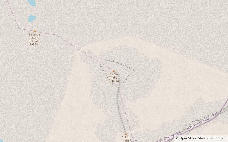
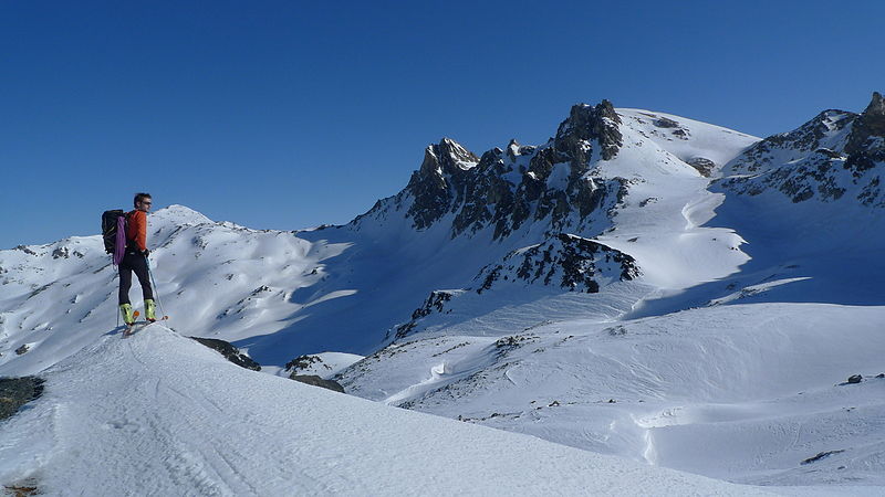
The Pic du Thabor is a mountain of Savoie and Hautes-Alpes, France. It lies in the Massif des Cerces range. It has an elevation of 3,207 metres above sea level, it stands closed to another summit, the Mont Thabor, culminating at 3,178 metres above sea level. ()
Location
Auvergne-Rhône-Alpes
ContactAdd
Social media
Add
Day trips
Pic du Thabor – popular in the area (distance from the attraction)
Nearby attractions include: Mont Thabor, Pointe des Cerces, Grande Traversée des Alpes, Refuge du Mont Thabor.


