Aiguille de Chambeyron
Map

Gallery

Facts and practical information
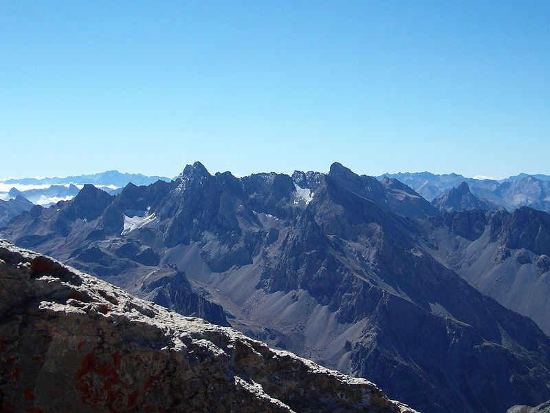
Aiguille de Chambeyron is a mountain of the Cottian Alps and is the highest mountain of Alpes-de-Haute-Provence in southeast France. Together with its neighbour Brec de Chambeyron, it is the dominant peak of the upper Ubaye Valley. The mountain is located near the border with Italy, just west of the Main chain of the Alps. It is the culminating point of the Massif du Chambeyron and is also the highest peak in the Alps south of Monte Viso. ()
Alternative names: First ascent: 1879Elevation: 11194 ftProminence: 2530 ftCoordinates: 44°32'51"N, 6°51'24"E
Location
Provence-Alpes-Côte d'Azur
ContactAdd
Social media
Add
Day trips
Aiguille de Chambeyron – popular in the area (distance from the attraction)
Nearby attractions include: Fort de Tournoux, Brec de Chambeyron, Fort de Viraysse, Pics de la Font Sancte.


