Château d'Angervilliers

Gallery (3)
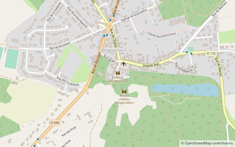
Map

Map
Gallery
Facts and practical information
The castle of Angervilliers is a small ruined French castle located in the commune of Angervilliers, in the Hurepoix country, today in the Essonne department and the Île-de-France region, thirty-six kilometers southwest of Paris.
Architectural style: NeoclassicismCoordinates: 48°35'29"N, 2°3'53"E
Location
Île-de-France
ContactAdd
Social media
Add
Day trips


