Le Bivouac, Sixt Fer à Cheval
Map

Map

Facts and practical information
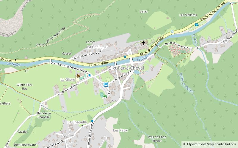
Le Bivouac is a place located in Sixt Fer à Cheval (Auvergne-Rhône-Alpes region) and belongs to the category of sightseeing.
It is situated at an altitude of 2497 feet, and its geographical coordinates are 46°3'16"N latitude and 6°46'29"E longitude.
Among other places and attractions worth visiting in the area are: St. Magdalene Church (church, 4 min walk), Grenier de Commune (nature, 73 min walk), Lac de Gers, Samoëns (nature, 74 min walk).
Coordinates: 46°3'16"N, 6°46'29"E
Address
Sixt Fer à Cheval
ContactAdd
Social media
Add
Day trips
Le Bivouac – popular in the area (distance from the attraction)
Nearby attractions include: Jaÿsinia, Lac d'Anterne, Refuge Alfred Wills, Mont Buet.


