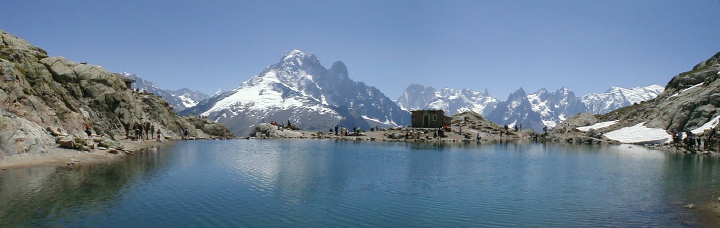
Le Cheval Blanc Mountain

Gallery (1)
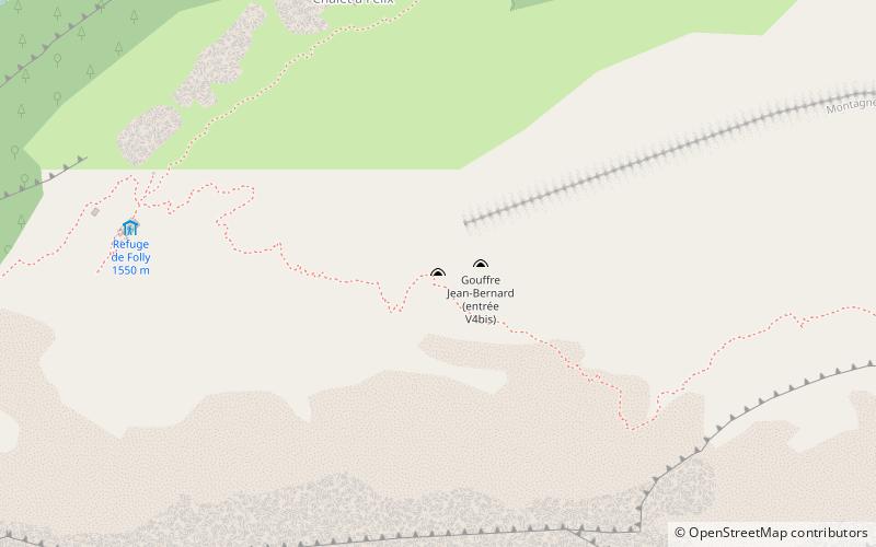
Map

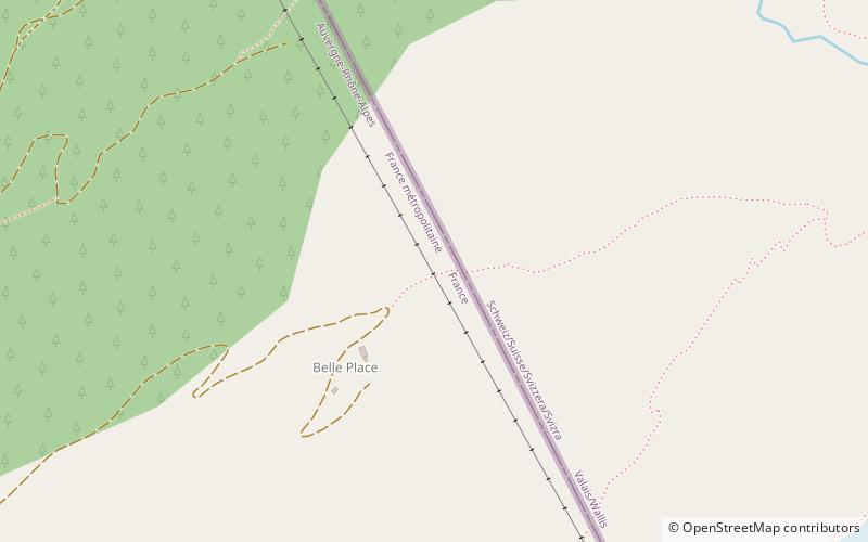
Map
Facts and practical information
Location
Auvergne-Rhône-Alpes
ContactAdd
Social media
Add
Day trips
Auvergne-Rhône-Alpes
Where to next? Visit ![]() Auvergne-Rhône-Alpes region page or discover the top tourist attractions in France.
Auvergne-Rhône-Alpes region page or discover the top tourist attractions in France.