Pic de Jallouvre

Gallery (1)
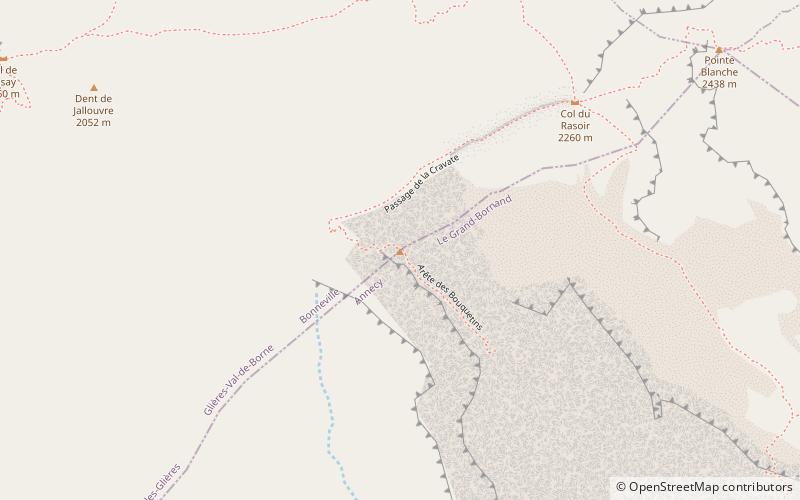
Map
Map
Facts and practical information
Pic de Jallouvre is a mountain of Haute-Savoie, France. It is the highest mountain in the Bornes Massif range of the French Prealps and its highest point, the Pointe Blanche, has an elevation of 2438 metres. ()
Location
Auvergne-Rhône-Alpes
ContactAdd
Social media
Add
Day trips


