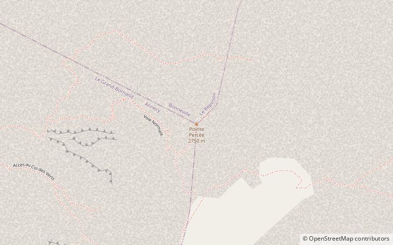
Pointe Percée
Map

Map

Facts and practical information
The Pointe Percée is the highest mountain in the Aravis range of the French Prealps in Haute-Savoie. It rises to 2753 meters and has 1643 m of prominence, and is thus is classified as an ultra prominent peak. Its first documented climb was by M. L. Maquelin of Geneva in 1865, though it was likely climbed much earlier. ()
Alternative names: First ascent: 1865Elevation: 9032 ftProminence: 5390 ftCoordinates: 45°57'21"N, 6°33'21"E
Location
Auvergne-Rhône-Alpes
ContactAdd
Social media
Add
Day trips
Pointe Percée – popular in the area (distance from the attraction)
Nearby attractions include: Lac des Confins, Refuge de Tornieux, Pic de Jallouvre, Lac Bénit.


