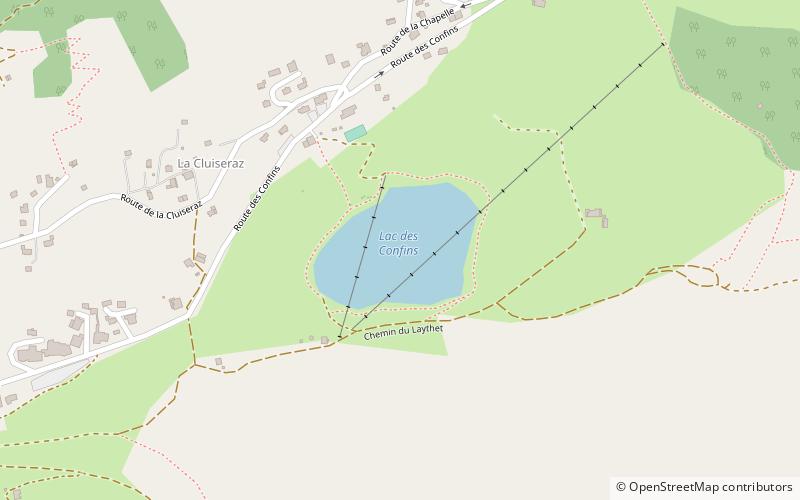
Lac des Confins, La Clusaz

Gallery (1)
Map
Map
Facts and practical information
Lac des Confins is located just below the station of La Clusaz in the Haute-Savoie department in the Rhône-Alpes region in south-eastern France. The lake is situated at the foot of the Aravis Range. Nearby is the Pointe Percée. ()
Day trips


