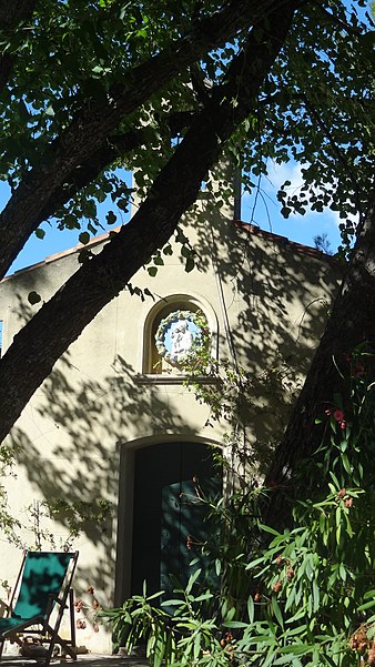
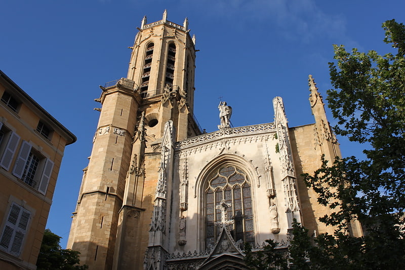
Bastide de Romégas, Aix-en-Provence

Gallery (4)
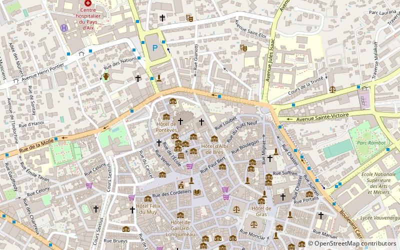
Map

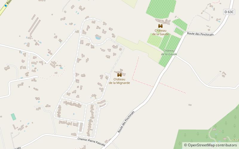
Map
Gallery
Facts and practical information
The bastide of Romégas is a bastide located in Puyricard, near Aix-en-Provence in the French department of Bouches-du-Rhône and the region Provence-Alpes-Côte d'Azur.
Elevation: 1001 ft a.s.l.Coordinates: 43°34'25"N, 5°26'57"E
Address
3992 Chemin de Saint DonatPlateau de Puyricard (Sud Est Plateau Puyricard)Aix-en-Provence 13100
Contact
+33 4 42 23 17 53
Social media
Add
Getting there by public transportation
Public transportation stops near this location
- Bus
 Bus
Bus
- Calculate routeD15 11 min walk
- Calculate routeD14 13 min walk
- Calculate routeD16 15 min walk
- Calculate routeD13 Bis 16 min walk
Day trips


Frequently Asked Questions (FAQ)
When is Bastide de Romégas open?
Bastide de Romégas is open:
- Monday 10 am - 12 pm & 3 pm - 6 pm
- Tuesday closed
- Wednesday 10 am - 12 pm & 3 pm - 6 pm
- Thursday closed
- Friday closed
- Saturday 10 am - 12 pm & 3 pm - 6 pm
- Sunday closed
How to get to Bastide de Romégas by public transport?
The nearest stations to Bastide de Romégas:
Bus
Bus
- D15 • Lines: 260 (11 min walk)
- D14 • Lines: 260 (13 min walk)