Refuge du Pinet

Gallery (1)
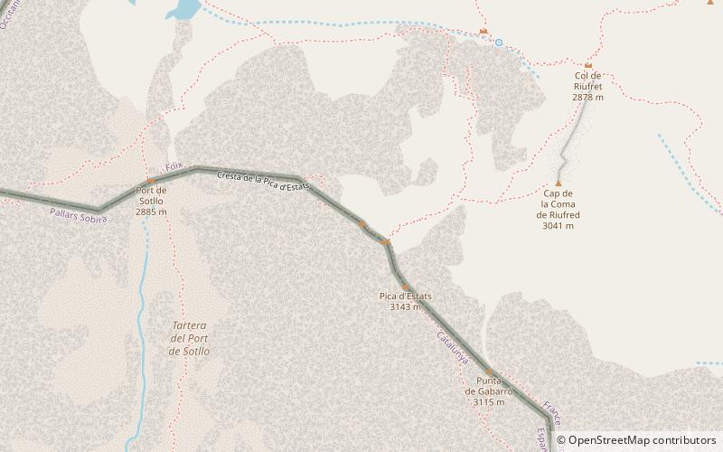
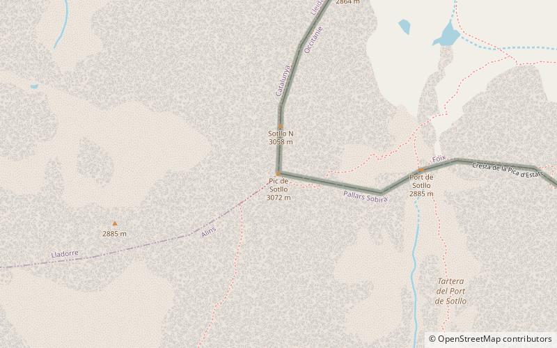
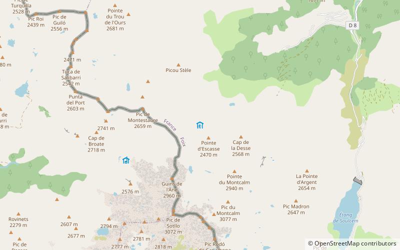
Map
Map
Facts and practical information
Refuge du Pinet is a place located in France and belongs to the category of hiking, alpine hut.
It is situated at an altitude of 7306 feet, and its geographical coordinates are 42°41'29"N latitude and 1°23'48"E longitude.
Among other places and attractions worth visiting in the area are: Pic de Montcalm (nature, 37 min walk), Pic Verdaguer (nature, 41 min walk), Pic de Sotllo (nature, 42 min walk).
Coordinates: 42°41'29"N, 1°23'48"E
Day trips