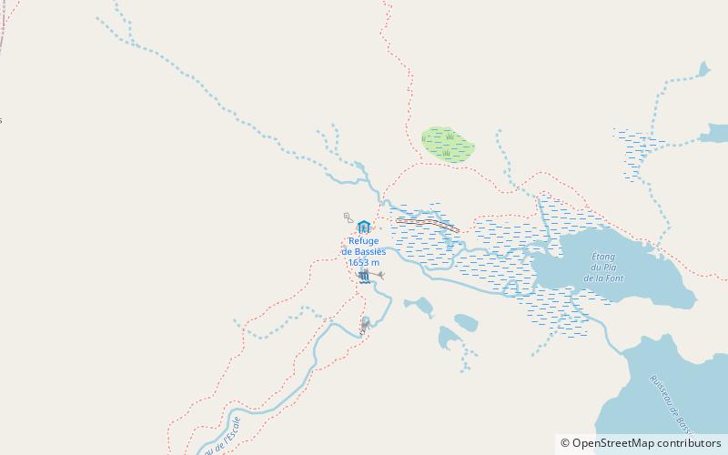
Trek Zone

Refuge de Bassiès

#6851 among destinations in France

Hiking, Alpine hut
Refuge de Bassiès

Facts and practical information

Refuge de Bassiès (address: Unnamed Road, 09220 Auzat) is a place located in France and belongs to the category of hiking, alpine hut.

It is situated at an altitude of 5430 feet, and its geographical coordinates are 42°45'55"N latitude and 1°24'49"E longitude.

Among other places and attractions worth visiting in the area are: Col d'Agnes (nature, 72 min walk), Auzat (locality, 84 min walk), Étang de Lers (nature, 88 min walk).

Coordinates: 42°45'55"N, 1°24'49"E
Location

Unnamed Road, 09220 AuzatOccitanieFrance

Contact
+33 6 89 40 65 00
Social media
Add

Refuge de Bassiès plan & book

Unleash the traveler in you — discover the cheapest flight deals, find the perfect hotel or hostel nearby, and search for the best car rental prices. Travel at your own pace to discover new places and enjoy your journey.

Day trips

Refuge de Bassiès – popular in the area (distance from the attraction)

Nearby attractions include: Étang de Lers, Pique d'Endron, Lac d'Izourt, Col d'Agnes.

  • etang de lers3.4 miNW
  • pique dendron6.1 miSE
  • lac dizourt6.8 miSE
  • col dagnes2.8 miNW
  • col de latrape5.6 miW
  • auzat3.3 miE
  • war memorial aulus les bains4.1 miNW
  • refuge du pinet5.2 miS
  • vicdessos4.4 miE

Where to next? Visit occitanie Occitanie region page or discover the top tourist attractions in France.