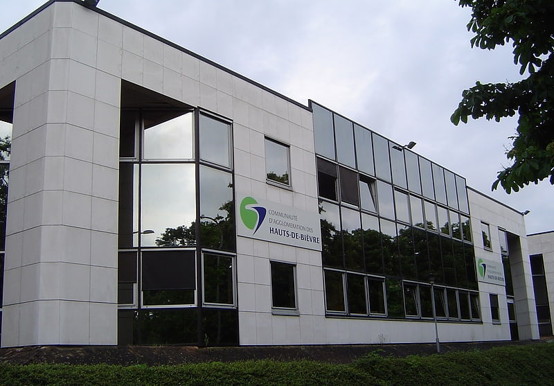
Agglomeration community of Hauts de Bièvre, Paris
Gallery (1)
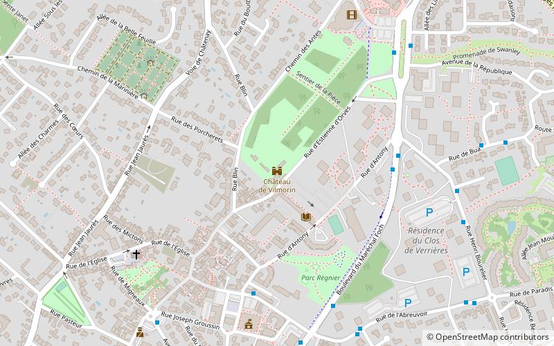
Map
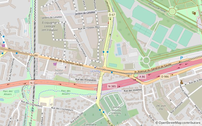
Map
Facts and practical information
The Communauté d'agglomération des Hauts de Bièvre was a Communauté d'agglomération, in France. It covered seven communes: five in the Hauts-de-Seine and two in the Essonne département. It was created in December 2002. It was merged into the Métropole du Grand Paris in January 2016. ()
Local name: Communauté d'agglomération des Hauts-de-Bièvre Area: 16.93 mi²Coordinates: 48°45'42"N, 2°17'27"E
Address
Paris
ContactAdd
Social media
Add
Getting there by public transportation
Public transportation stops near this location
- Bus
- Light rail
- Train
 Bus
Bus
- Calculate routeCarrefour de l'Europe 2 min walk
- Calculate routeLa Croix de Berny 17 min walk
- Calculate routeParc de Sceaux 28 min walk
- Calculate routeChemin d'Antony 36 min walk
- Calculate routeAntony 17 min walk
Maps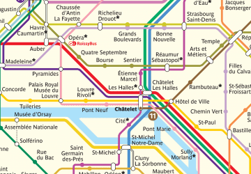 Metro
Metro
MetroDay trips
Agglomeration community of Hauts de Bièvre – popular in the area (distance from the attraction)
Nearby attractions include: Château de Sceaux, Arboretum de la Vallée-aux-Loups, Arboretum municipal de Verrières-le-Buisson, Château de Vilmorin.


Frequently Asked Questions (FAQ)
Which popular attractions are close to Agglomeration community of Hauts de Bièvre?
Nearby attractions include Antony, Paris (16 min walk), Châtenay-Malabry, Paris (21 min walk).
How to get to Agglomeration community of Hauts de Bièvre by public transport?
The nearest stations to Agglomeration community of Hauts de Bièvre:
Bus
Train
Light rail
Bus
- Carrefour de l'Europe • Lines: 379, 395, 4, N62 (2 min walk)
Train
- La Croix de Berny (17 min walk)
- Parc de Sceaux (28 min walk)
Light rail
- Antony (17 min walk)