Châtenay-Malabry, Paris
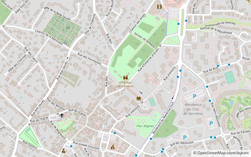
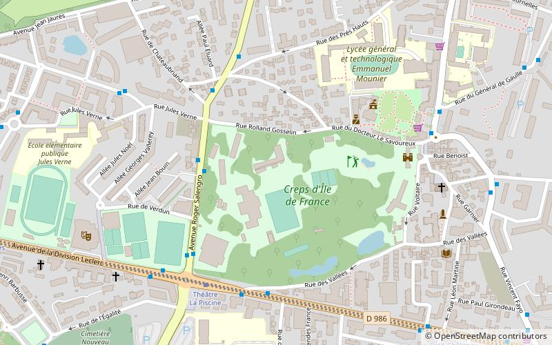
Map
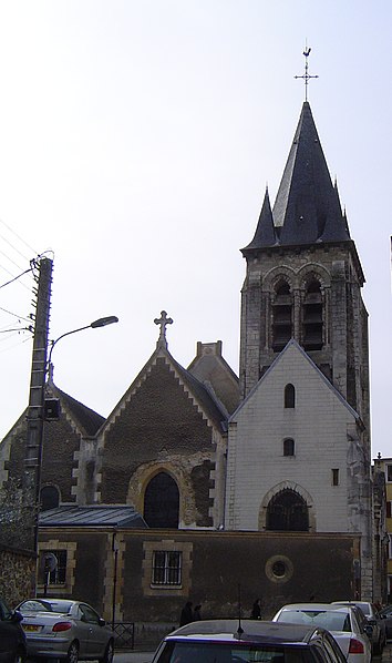
Gallery
Facts and practical information
Châtenay-Malabry is a commune in the southwestern suburbs of Paris. It is located 10.8 km from the center of Paris. ()
Address
Châtenay-MalabryParis
ContactAdd
Social media
Add
Day trips
Châtenay-Malabry – popular in the area (distance from the attraction)
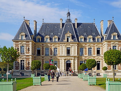
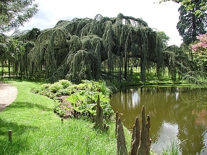
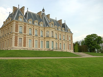
Nearby attractions include: Château de Sceaux, Arboretum de la Vallée-aux-Loups, Arboretum municipal de Verrières-le-Buisson, Château de Vilmorin.
Frequently Asked Questions (FAQ)
Which popular attractions are close to Châtenay-Malabry?
Nearby attractions include Arboretum de la Vallée-aux-Loups, Paris (12 min walk), Agglomeration community of Hauts de Bièvre, Paris (21 min walk).
How to get to Châtenay-Malabry by public transport?
The nearest stations to Châtenay-Malabry:
Bus
Train
Bus
- Jules Verne • Lines: 194, 294, N63 (3 min walk)
- Docteur Le Savoureux • Lines: 194, 294, N63 (5 min walk)
Train
- Robinson (26 min walk)
- Sceaux (38 min walk)
 Metro
Metro