Mairie des Matelles, Les Matelles

Gallery (1)
Map
Map
Facts and practical information
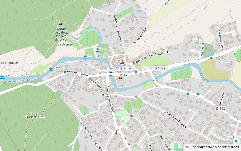
Mairie des Matelles (address: 70 avenue du Val de Montferrand) is a place located in Les Matelles (Occitanie region) and belongs to the category of city hall.
It is situated at an altitude of 335 feet, and its geographical coordinates are 43°43'49"N latitude and 3°48'35"E longitude.
Among other places and attractions worth visiting in the area are: Église de la Nativité-de-Saint-Jean-Baptiste, Saint-Jean-de-Cuculles (church, 51 min walk), Saint-Gély-du-Fesc (locality, 69 min walk), Pic Saint-Loup, Montpellier (nature, 86 min walk).
Coordinates: 43°43'49"N, 3°48'35"E
Address
70 avenue du Val de MontferrandLes Matelles
ContactAdd
Social media
Add
Day trips


