Château de Montferrand

Gallery (10)
Map

Map

Gallery
Facts and practical information
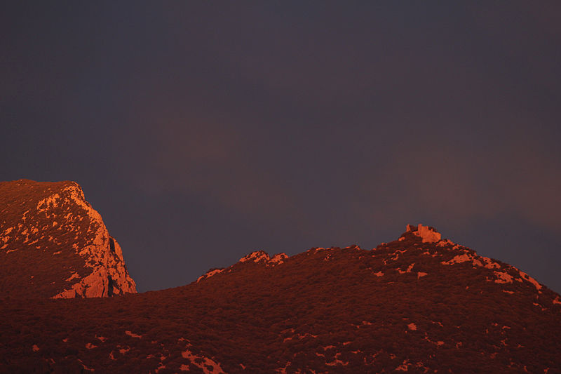
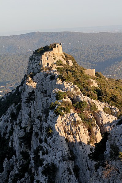
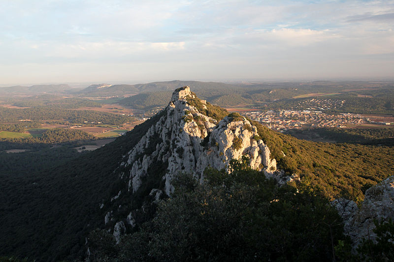
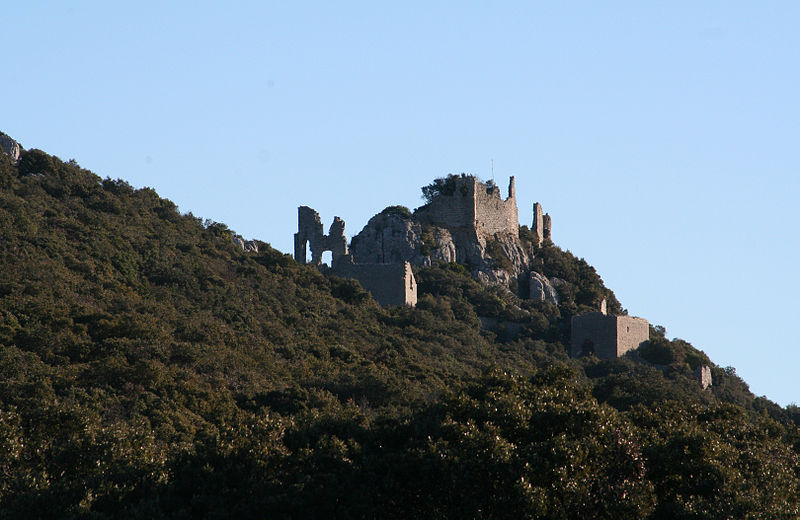
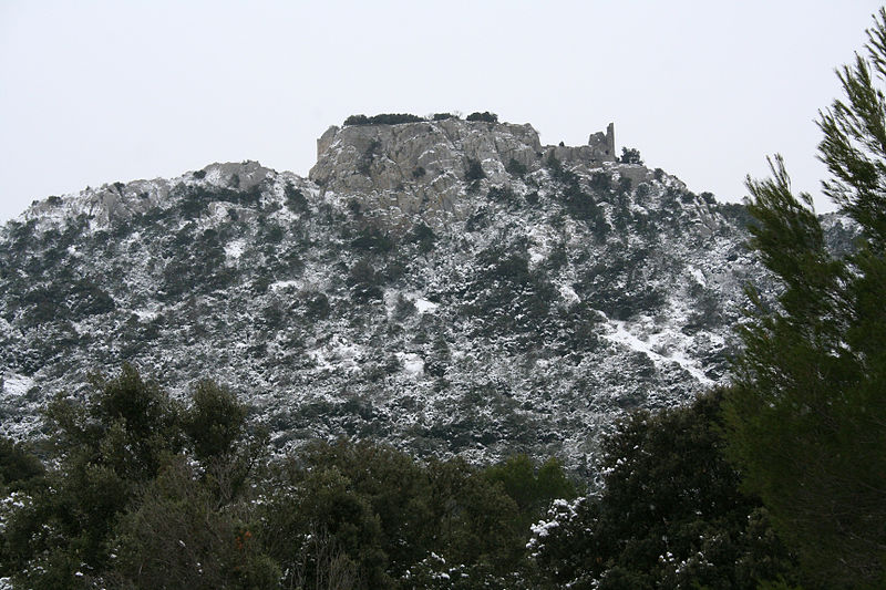
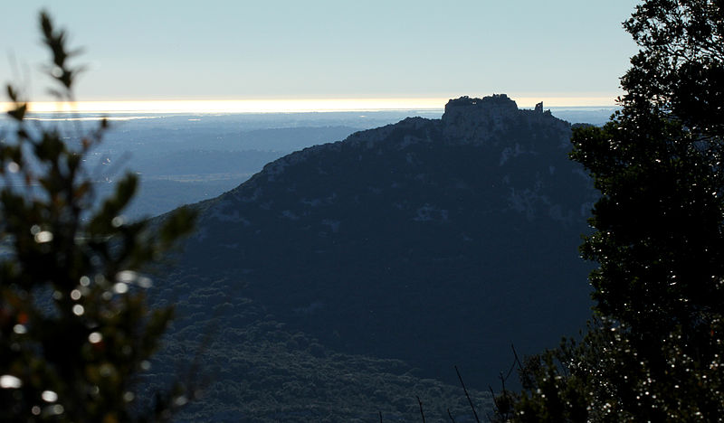
The castle of Montferrand is a medieval fortress of the XII th century, located on the territory of the commune of Saint-Mathieu-de-Tréviers, in the department of Hérault. This castle belonged to the counts of Melgueil.
Coordinates: 43°46'31"N, 3°50'24"E
Location
Occitanie
ContactAdd
Social media
Add
Day trips


