Mulhouse Alsace Agglomération, Mulhouse
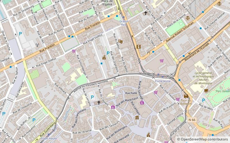
Map
Facts and practical information
The Mulhouse Alsace Agglomération is the Communauté d'agglomération, a type of local government structure, covering the metropolitan area of the city of Mulhouse in the department of Haut-Rhin and the region of Grand Est, northeastern France. Its area is 439.2 km2. Its population was 274,066 in 2018, of which 108,942 in Mulhouse proper. The current president of the agglomeration community is Fabian Jordan, elected January 2017. ()
Address
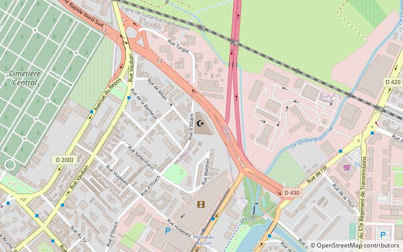
2 rue Pierre et Marie CurieBriand Franklin (Briand Franklin Nord)Mulhouse
Contact
Social media
Add
Day trips
Mulhouse Alsace Agglomération – popular in the area (distance from the attraction)
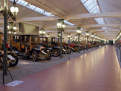
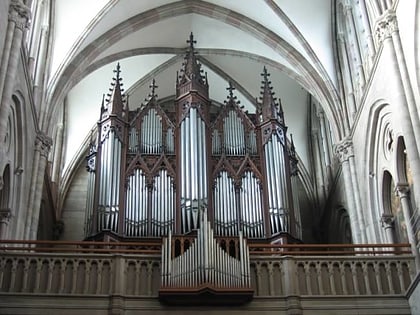
Nearby attractions include: Cité de l'Automobile, Temple Saint-Étienne, Mulhouse Zoological and Botanical Park, Rebberg.
Frequently Asked Questions (FAQ)
Which popular attractions are close to Mulhouse Alsace Agglomération?
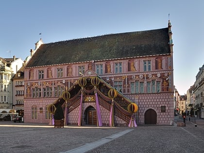
Nearby attractions include Mairie de Mulhouse, Mulhouse (2 min walk), Temple Saint-Étienne, Mulhouse (6 min walk), Tour du Bollwerk, Mulhouse (7 min walk), Synagogue, Mulhouse (9 min walk).
How to get to Mulhouse Alsace Agglomération by public transport?
The nearest stations to Mulhouse Alsace Agglomération:
Tram
Bus
Train
Tram
- Mairie • Lines: 2, 3 (2 min walk)
- Porte Jeune • Lines: 1, 2, 3 (5 min walk)
Bus
- Grand Rex • Lines: 11, 16 (5 min walk)
- Franklin • Lines: 11, 16 (5 min walk)
Train
- Mulhouse-Ville (15 min walk)
- Hasenrain (26 min walk)
