Château de Pont-d'Ain, Pont-d'Ain

Gallery (1)
Map
Map
Facts and practical information
The castle of Pont-d'Ain is a 15th century castle, rebuilt in the 16th century and modified in the 19th century, center of the lordship of Pont-d'Ain, which stands on the French commune of Pont-d'Ain in the department of Ain, in the region Auvergne-Rhône-Alpes. It is the successor of an ancient castle built before 1285 by the sires of Coligny.
The castle was registered as a historical monument by order of October 18, 2004.
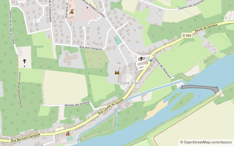
Coordinates: 46°3'9"N, 5°20'40"E
Address
Pont-d'Ain
ContactAdd
Social media
Add
Day trips


