Phare du Cap Ferrat, Nice
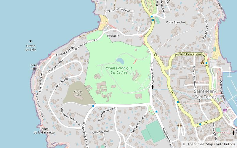
Map
Map

Facts and practical information
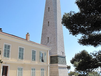
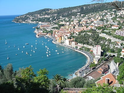
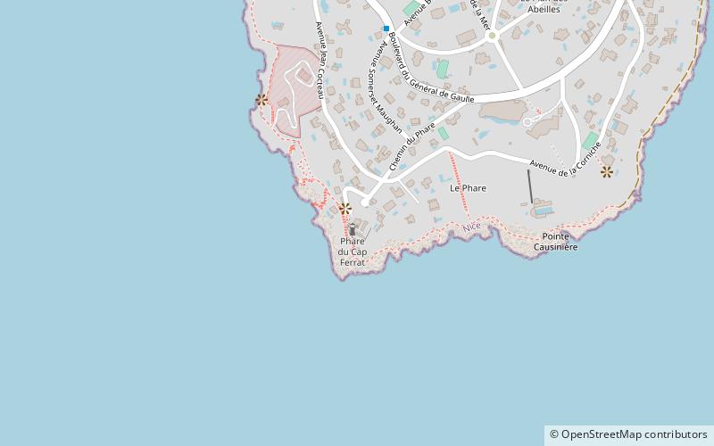
The lighthouse of Cap Ferrat is located at the southern end of the peninsula of Cap Ferrat, commune of Saint-Jean-Cap-Ferrat. It marks the entrance to the Villefranche harbor.
Coordinates: 43°40'31"N, 7°19'37"E
Address
Nice
ContactAdd
Social media
Add
Day trips
Phare du Cap Ferrat – popular in the area (distance from the attraction)
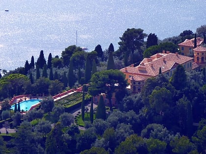
Nearby attractions include: Villa Ephrussi de Rothschild, Villa Kerylos, Port de la Darse, Opéra de Nice.
Frequently Asked Questions (FAQ)
How to get to Phare du Cap Ferrat by public transport?
The nearest stations to Phare du Cap Ferrat:
Bus
Bus
- Ferme de May • Lines: 15 (25 min walk)
- Villa Alexandra • Lines: 15 (26 min walk)
