Dauphiné Alps, Écrins National Park

Gallery (2)
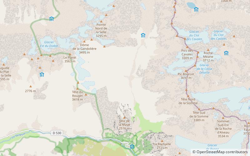
Map
Map
Gallery
Facts and practical information
The Dauphiné Alps are a group of mountain ranges in southeastern France, west of the main chain of the Alps. Mountain ranges within the Dauphiné Alps include the Massif des Écrins, Belledonne, the Taillefer range and the mountains of Matheysine. ()
Alternative names: Area: 9808.91 mi²Maximum elevation: 13458 ftElevation: 13458 ftCoordinates: 44°57'33"N, 6°17'22"E
Address
Écrins National Park
ContactAdd
Social media
Add
Day trips


