Plomodiern Parish close
Map
Gallery
Facts and practical information
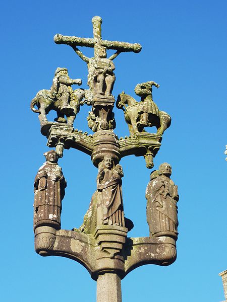
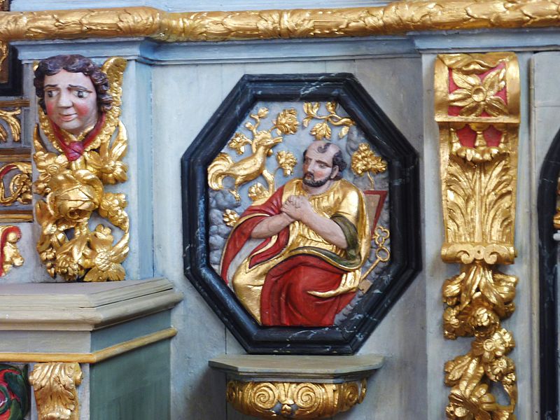
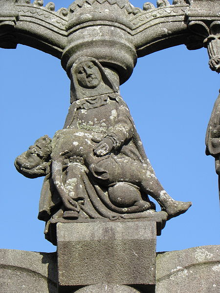
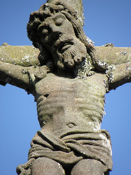
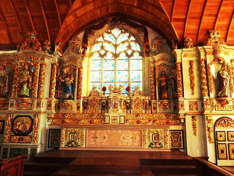
The Plomodiern Parish close is located near the village Plomodiern in the arrondissement of Châteaulin, Brittany, north-western France. It is a listed historical monument since 1914. ()
Coordinates: 48°12'10"N, 4°14'5"W
Location
Brittany
ContactAdd
Social media
Add
Day trips
Plomodiern Parish close – popular in the area (distance from the attraction)
Nearby attractions include: Terenez bridge, Île de Térénez, Musée des vieux métiers, Chapelle Sainte-Marie.


