St. Vigor Church

Gallery (1)
Map
Map
Facts and practical information
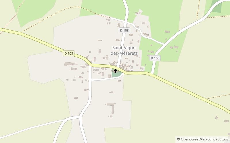
The Saint-Vigor church is a 15th century Catholic church located in Saint-Vigor-des-Mézerets, France.
Coordinates: 48°54'30"N, 0°38'30"W
Location
Normandy
ContactAdd
Social media
Add
Day trips


