Pont René Thinat, Orléans
Map

Map

Facts and practical information
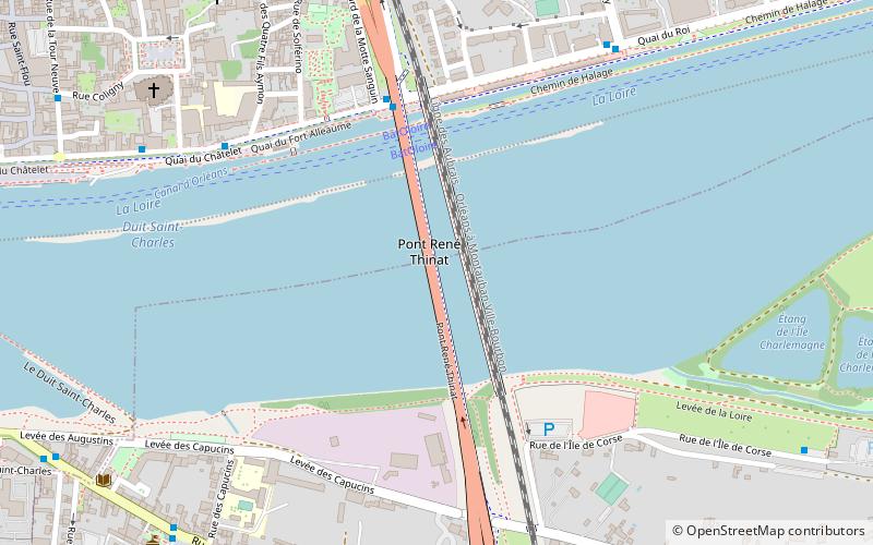
The René-Thinat Bridge is a French bridge spanning the Loire River that connects the cities of Orléans and Saint-Jean-le-Blanc in the Loiret department and the Centre-Val de Loire region.
Coordinates: 47°53'48"N, 1°55'16"E
Address
Pont René ThinatOrléans 45000
ContactAdd
Social media
Add
Day trips
Pont René Thinat – popular in the area (distance from the attraction)
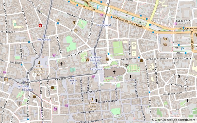
Nearby attractions include: Orléans Cathedral, Museum of Fine Arts, Church of Saint-Aignan, Cenabum.
Frequently Asked Questions (FAQ)
Which popular attractions are close to Pont René Thinat?
Nearby attractions include Canal d'Orléans, Orléans (4 min walk), Church of Saint-Aignan, Orléans (8 min walk), Saint-Jean-le-Blanc, Orléans (9 min walk), Église Saint-Pierre-le-Puellier, Orléans (12 min walk).
How to get to Pont René Thinat by public transport?
The nearest stations to Pont René Thinat:
Bus
Tram
Train
Bus
- Quai du Roi • Lines: L (5 min walk)
- Saint-Aignan • Lines: L (7 min walk)
Tram
- Cathédrale • Lines: B (18 min walk)
- Jeanne d'Arc • Lines: B (20 min walk)
Train
- Orléans (29 min walk)


