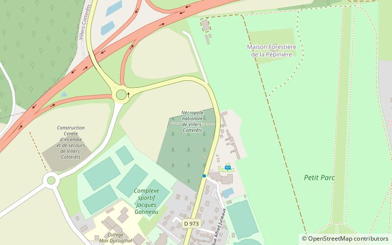
Nécropole nationale de Villers-Cotterêts, Villers-Cotterêts
Map

Map

Facts and practical information
The national necropolis of Villers-Cotterêts is a French military cemetery of the First World War, located on the territory of the commune of Villers-Cotterêts, in the department of Aisne.
Coordinates: 49°15'44"N, 3°5'11"E
Address
Villers-Cotterêts
ContactAdd
Social media
Add
Day trips
Nécropole nationale de Villers-Cotterêts – popular in the area (distance from the attraction)
Nearby attractions include: Alexandre Dumas Museum, Château de Montgobert, Château d'Oigny-en-Valois, Forest of Retz.
Frequently Asked Questions (FAQ)
Which popular attractions are close to Nécropole nationale de Villers-Cotterêts?
Nearby attractions include Forest of Retz, Villers-Cotterêts (9 min walk), Alexandre Dumas Museum, Villers-Cotterêts (17 min walk).


