Col de Peyresourde

Gallery (4)
Map

Map
Gallery
Facts and practical information
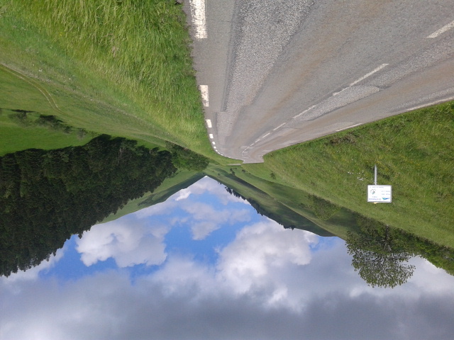
The Col de Peyresourde is a mountain pass in the central Pyrenees on the border of the department of Haute-Garonne and Hautes-Pyrénées in France. It is situated on the D618 road between Bagnères-de-Luchon and Arreau. ()
Location
Occitanie
ContactAdd
Social media
Add
Day trips


