Château de Chellé

Gallery (1)
Map
Map
Facts and practical information
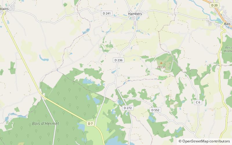
The castle of Chelé was located in Hambers in the department of Mayenne. It remains of this castle of the vestiges of an important medieval field: a Romance keep; a residence seigneuriale of the middle of XIIIe century.
This is a major site that potentially preserves the original motte.
The stream of Chelé, born in Hambers, operated, in the village, a flour mill and joined the stream of Bias, in Hambers; length of 2 300 m.
Coordinates: 48°13'55"N, 0°25'45"W
Location
Pays de la Loire
ContactAdd
Social media
Add
Day trips


