Nécropole nationale du Pétant
Map

Map

Facts and practical information
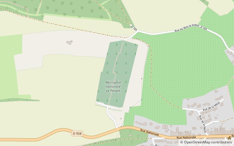
The Pétant National Necropolis is a French military cemetery of the First and Second World Wars located in the territory of the commune of Montauville in the Meurthe-et-Moselle department.
Coordinates: 48°54'12"N, 6°0'47"E
Location
Grand Est
ContactAdd
Social media
Add
Day trips
Nécropole nationale du Pétant – popular in the area (distance from the attraction)
Nearby attractions include: Château de Mousson, Château de Pierrefort, Lorraine Regional Natural Park, St. Lawrence Church.


