Trek Zone

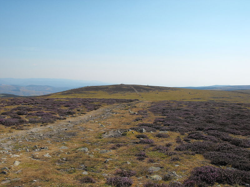
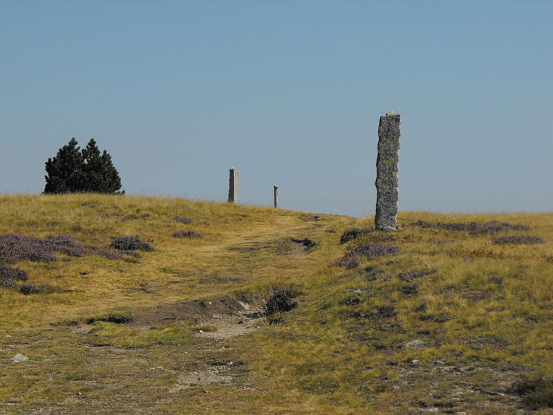
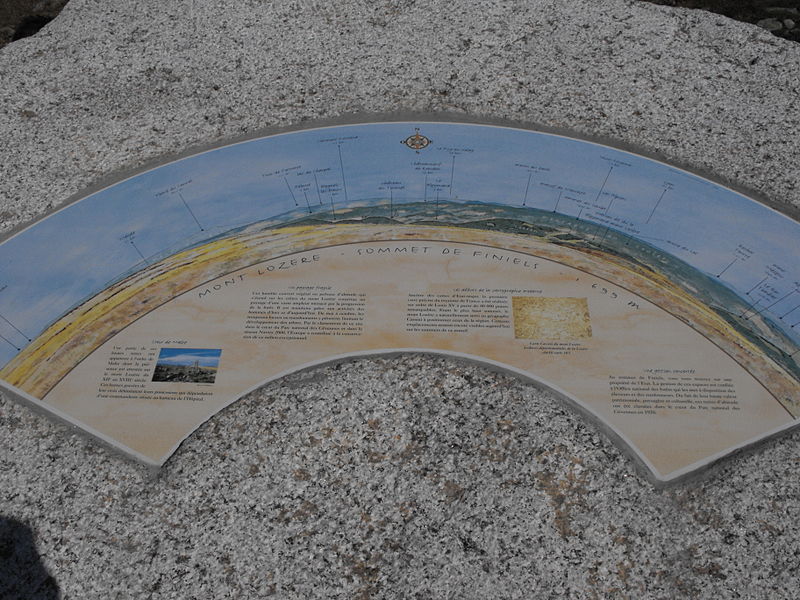
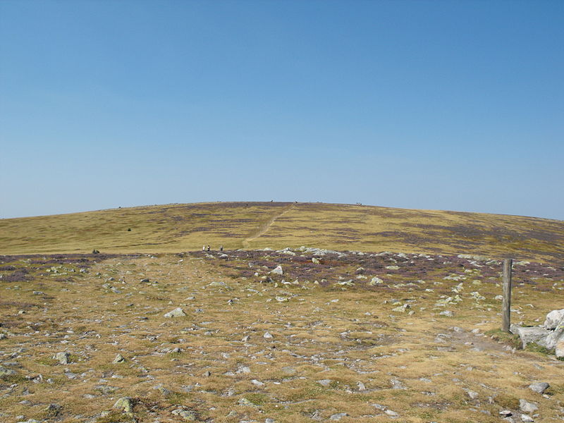
Signal de Finiels, Cévennes National Park

#9 among attractions in Cévennes National Park

Nature, Natural attraction, Mountain
Signal de Finiels

Facts and practical information

The summit of Finiels is the highest point of the Lozère mountain range extending from Florac to Villefort, in the east-west direction, and from Bleymard to Pont-de-Monvert in the north-south direction.

Alternative names: Coordinates: 44°25'34"N, 3°44'21"E
Address

Cévennes National Park France

ContactAdd
Social media
Add

Cévennes National Park plan & book

Unleash the traveler in you — discover the cheapest flight deals, find the perfect hotel or hostel nearby, and search for the best car rental prices. Travel at your own pace to discover new places and enjoy your journey.

Day trips

Signal de Finiels – popular in the area (distance from the attraction)

Nearby attractions include: Château du Tournel, Château de Miral, Mont Lozère, Pont Roumejon.

  • chateau du tournel5.5 miN
  • chateau de miral6.8 miSW
  • mont lozere cevennes national park~40 ftN
  • pont roumejon le pont de montvert4.3 miS
  • cevennes cevennes national park~80 ftNE
  • chateau du champ cevennes national park6.3 miNE
  • st john the baptist church le bleymard4.2 miN
  • war memorial bagnols les bains6.6 miNW
  • fraissinet de lozere4 miSW

Frequently Asked Questions (FAQ)

Which popular attractions are close to Signal de Finiels?

Nearby attractions include Mont Lozère, Cévennes National Park (1 min walk), Cévennes, Cévennes National Park (1 min walk).

Where to next? Visit occitanie Occitanie region page or discover the top tourist attractions in France.