Pont Roumejon, Le Pont-de-Montvert
Map
![Pont Roumejon location map](https://tzmedia.b-cdn.net/media/images/static-maps/fr/44_3632_3_74356.jpg)
Map
![Pont Roumejon location map](https://tzmedia.b-cdn.net/media/images/static-maps/fr/44_3632_3_74356.jpg)
Facts and practical information
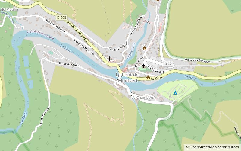
The Montvert Bridge is a bridge spanning the Tarn River and located in the former commune of Pont-de-Montvert, in the Lozère department in France.
Coordinates: 44°21'48"N, 3°44'37"E
Address
Le Pont-de-Montvert
ContactAdd
Social media
Add
Day trips
Pont Roumejon – popular in the area (distance from the attraction)
Nearby attractions include: Château de Miral, Mont Lozère, Cévennes, Château de Saint-Julien-d'Arpaon.