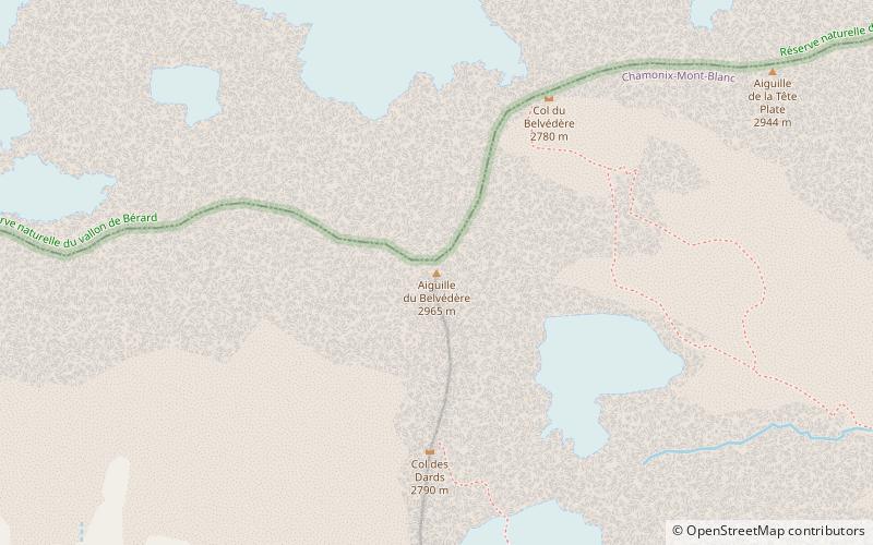
Aiguille du Belvédère
Map

Map

Facts and practical information
Aiguille du Belvédère is a mountain of Haute-Savoie, France. It is the highest peak in the Aiguilles Rouges range of the French Prealps and has an altitude of 2,965 metres above sea level. ()
Location
Auvergne-Rhône-Alpes
ContactAdd
Social media
Add
Day trips
Aiguille du Belvédère – popular in the area (distance from the attraction)
Nearby attractions include: Centre Sportif Richard Bozon, Lac Blanc, La Flégère, Lac de Pormenaz.


