Rothenbachkopf
Map
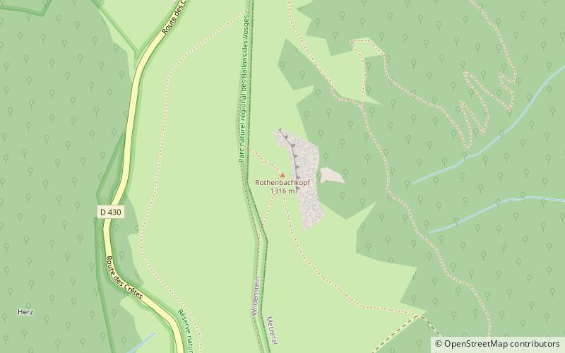
Map

Facts and practical information
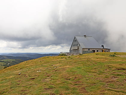
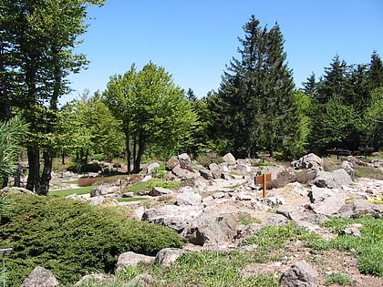
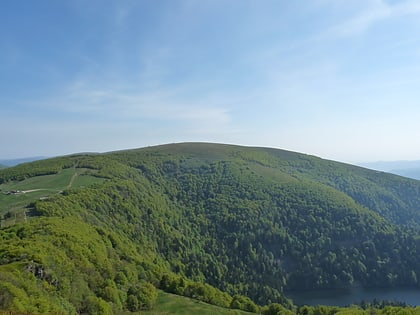
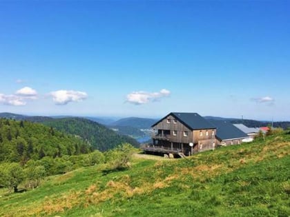
The Rothenbachkopf is a mountain, 1,315 metres high, in the High Vosges in France. Only a few metres to the west of the summit runs the Route des Crêtes heading south from the Col de la Schlucht. Several Vosges Club hiking trails run over the top. A few kilometres north of the Rothenbachkopfs the border between Alsace and Lorraine turns and heads southwest. ()
Location
Grand Est
ContactAdd
Social media
Add
Day trips
Rothenbachkopf – popular in the area (distance from the attraction)
Nearby attractions include: Hohneck, Lac de Retournemer, Lac de Lispach, Fischboedle.

