Trek Zone

Funiculaire de l'Ayré, Barèges

#1 among attractions in Barèges

Bridge
Funiculaire de l'Ayré

Facts and practical information

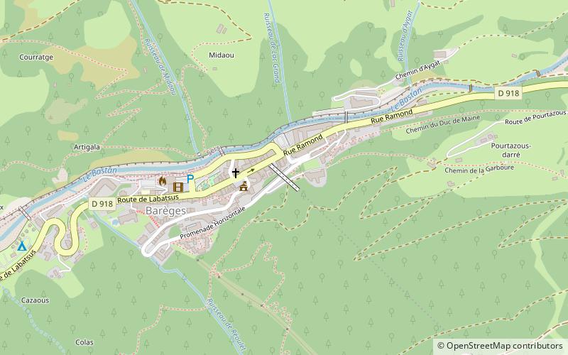
Funiculaire de l'Ayré (address: Rue Ramond) is a place located in Barèges (Occitanie region) and belongs to the category of bridge.

It is situated at an altitude of 4085 feet, and its geographical coordinates are 42°53'48"N latitude and 0°3'57"E longitude.

Among other places and attractions worth visiting in the area are: War Memorial (memorial, 2 min walk), Lac Vert (nature, 71 min walk), Lac Bleu de Lesponne (nature, 72 min walk).

Coordinates: 42°53'48"N, 0°3'57"E
Address

Rue RamondBarèges France

ContactAdd
Social media
Add

Barèges plan & book

Unleash the traveler in you — discover the cheapest flight deals, find the perfect hotel or hostel nearby, and search for the best car rental prices. Travel at your own pace to discover new places and enjoy your journey.

Day trips

Funiculaire de l'Ayré – popular in the area (distance from the attraction)

Nearby attractions include: Château de Sainte-Marie, Pic de Néouvielle, Hautacam, Lac d'Aumar.

  • chateau de sainte marie luz saint sauveur3.6 miSW
  • pic de neouvielle neouvielle national nature reserve4.9 miSE
  • hautacam argeles gazost6.4 miNW
  • lac daumar neouvielle national nature reserve5.7 miSE
  • pic du midi de bigorre4.9 miNE
  • lac de madamete4.6 miSE
  • lac daubert neouvielle national nature reserve5.2 miSE
  • lac bleu de lesponne2.8 miN
  • lac dourrec3.9 miN
  • trois conseillers pyrenees national park5.1 miSE
  • jardin botanique du tourmalet3.8 miE

Where to next? Visit occitanie Occitanie region page or discover the top tourist attractions in France.