Trek Zone

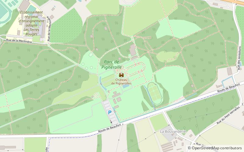
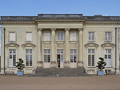
Château de Pignerolle, Angers

#10 among attractions in Angers

Forts and castles
Château de Pignerolle

Facts and practical information

Alternative names: Coordinates: 47°28'11"N, 0°28'25"W
Address

Angers France

Contact
Social media
Add
Day trips

Château de Pignerolle – popular in the area (distance from the attraction)

Nearby attractions include: Stade Raymond Kopa, Jardin des plantes d'Angers, Muséum d'histoire naturelle d'Angers, Abbey of St. Sergius.

  • stade raymond kopa angers2.7 miW
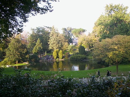
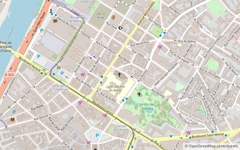
  • jardin des plantes dangers3.3 miW
  • museum dhistoire naturelle dangers3.4 miW
  • abbey of st sergius angers location map
    3.4 miW
  • arboretum gaston allard angers location map
    3.5 miSW
  • saint martins collegiate church angers3.7 miW
  • saint barthelemy danjou angers1.2 miW
  • musee de lardoise trelaze1.7 miSW
  • eglise notre dame des victoires angers3.5 miW
  • grand theatre angers3.7 miW
  • place du ralliement angers3.6 miW

Frequently Asked Questions (FAQ)

How to get to Château de Pignerolle by public transport?

The nearest stations to Château de Pignerolle:

Bus
  • Saint-Barthélemy • Lines: 4, 4d (16 min walk)
  • Morlière • Lines: 4 (18 min walk)

Train
  • Trélazé (31 min walk)

Where to next? Visit pays de la loire Pays de la Loire region page or discover the top tourist attractions in France.