Château de Villiers-le-Bâcle, Villiers-le-Bâcle
Map

Map

Facts and practical information
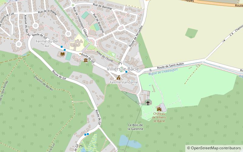
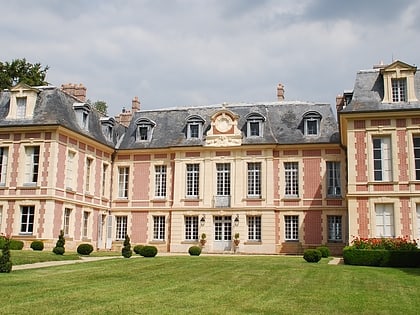
The castle of Villiers-le-Bâcle is a French castle located in the commune of Villiers-le-Bâcle, in the Essonne department and the Île-de-France region, twenty-two kilometers southwest of Paris.
Dating from the 18th century, it is surrounded by a park of 40 hectares. It was partially registered as a historical monument in 1946.
Coordinates: 48°43'32"N, 2°7'32"E
Address
Villiers-le-Bâcle
ContactAdd
Social media
Add
Day trips
Château de Villiers-le-Bâcle – popular in the area (distance from the attraction)
Nearby attractions include: Le Golf National, Parc botanique de Launay, Musée Raymond Devos, Saint-Aubin.


