Château de Gallée, Millery

Gallery (1)
Map
Map
Facts and practical information
The castle of La Gallée is an old house of the vineyards, of the XIVth-XVth centuries, reworked in house of the fields in the XVIth century. Restored since a few years, the building stands on the commune of Millery in the department of the Rhône in the region Auvergne-Rhône-Alpes.
The castle was registered as a historical monument by order of June 7, 1926.
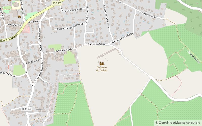
Coordinates: 45°37'46"N, 4°47'22"E
Address
Chemin de La Grande GalléeMillery
ContactAdd
Social media
Add
Day trips


