Givors canal, Givors
Map
![Givors canal location map](https://tzmedia.b-cdn.net/media/images/static-maps/fr/45_5901_4_7751.jpg)
Gallery
![Givors canal, Givors](https://tzmedia.b-cdn.net/media/images/fr/place/gallery/medium/2eed728a0aa042566fe0aefeccde188b.jpg)
Facts and practical information
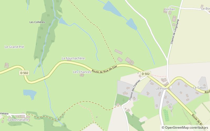
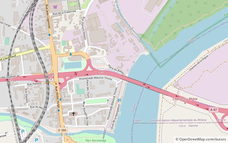
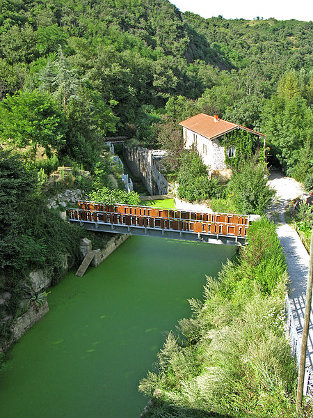
The Givors canal was built between 1761 and 1781 to carry coal, other goods and passengers from Rive-de-Gier to Givors on the Rhône, running beside the river Gier. ()
Address
Givors (Plaine Centre Ville)Givors
ContactAdd
Social media
Add
Day trips
Givors canal – popular in the area (distance from the attraction)
Nearby attractions include: Saint-Romain-en-Gal, Musée Gallo-Romain de Saint-Romain-en-Gal, Château de La Bâtie on Mount Salomon, Château de Gallée.