Trek Zone

Refuge de Tornieux, Sallanches

#1 among attractions in Sallanches

Hiking, Alpine hut
Refuge de Tornieux

Facts and practical information

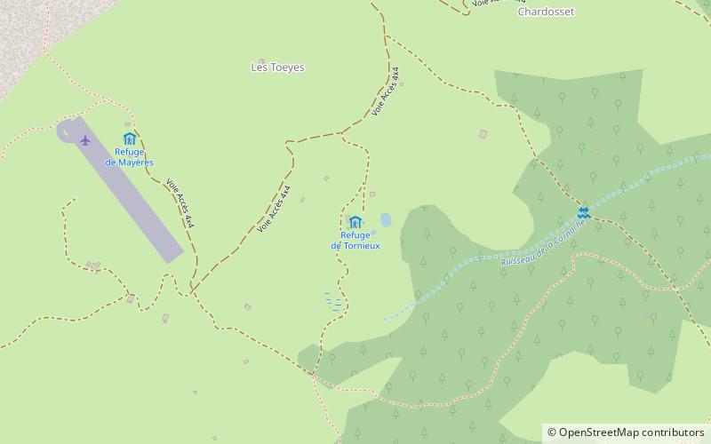
Refuge de Tornieux (address: Les Tournieux, 74700) is a place located in Sallanches (Auvergne-Rhône-Alpes region) and belongs to the category of hiking, alpine hut.

It is situated at an altitude of 4767 feet, and its geographical coordinates are 45°56'56"N latitude and 6°35'33"E longitude.

Among other places and attractions worth visiting in the area are: Collégiale Saint-Jacques (church, 46 min walk), Pointe Percée (nature, 47 min walk), Aravis Range (nature, 47 min walk).

Coordinates: 45°56'56"N, 6°35'33"E
Address

Les Tournieux, 74700Sallanches France

Contact
+33 4 50 93 78 54
Social media
Add

Sallanches plan & book

Unleash the traveler in you — discover the cheapest flight deals, find the perfect hotel or hostel nearby, and search for the best car rental prices. Travel at your own pace to discover new places and enjoy your journey.

Day trips

Refuge de Tornieux – popular in the area (distance from the attraction)

Nearby attractions include: Tête du Colonney, Thermes de Saint Gervais Mont-Blanc, Pointe Percée, Pointe d'Areu.

  • tete du colonney flaine5 miE
  • thermes de saint gervais mont blanc saint gervais les bains6.6 miSE
  • pointe percee1.8 miW
  • pointe dareu2.3 miN
  • grande balmaz6 miSW
  • roche perfia4.5 miSW
  • lac de flaine5.3 miNE
  • mont charvet2.6 miW
  • aravis range1.8 miW
  • saint pierre et saint paul passy4.8 miE
  • roualle5.4 miSW

Where to next? Visit auvergne rhone alpes Auvergne-Rhône-Alpes region page or discover the top tourist attractions in France.