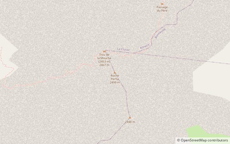
Roche Perfia
#1130 among destinations in France


Facts and practical information
The Roche Perfia is a mountain in the Aravis Range in Haute-Savoie, France. ()
Auvergne-Rhône-AlpesFrance
Roche Perfia – popular in the area (distance from the attraction)
Nearby attractions include: Lac des Confins, Refuge de Tornieux, Pointe Percée, Lac de Lessy.
 Nature, Natural attraction, Lake
Lac des Confins, La Clusaz
46 min walk • Lac des Confins is located just below the station of La Clusaz in the Haute-Savoie department in the Rhône-Alpes region in south-eastern France. The lake is situated at the foot of the Aravis Range. Nearby is the Pointe Percée. Every year, at the end of the skiing season, there is a light-hearted descent.

 Prominent mountain for hiking and climbing
Pointe Percée
89 min walk • The Pointe Percée is the highest mountain in the Aravis range of the French Prealps in Haute-Savoie. It rises to 2753 meters and has 1643 m of prominence, and is thus is classified as an ultra prominent peak. Its first documented climb was by M. L.
 Nature, Natural attraction, Lake
Lac de Lessy
158 min walk • Lac de Lessy is a lake at Le Petit-Bornand-les-Glières in the Haute-Savoie, France.
 Nature, Natural attraction, Mountain
Pointe d'Areu
144 min walk • Pointe d'Areu is a mountain of Haute-Savoie, France. It lies in the Aravis Range, above Oëx in the Arve valley, and has an altitude of 2478 metres above sea level.
 Nature, Natural attraction, Mountain
Parrossaz
58 min walk • Parrossaz is a mountain of Savoie and Haute-Savoie, France. It lies in the Aravis range. It has an elevation of 2,556 metres above sea level.
 Nature, Natural attraction, Mountain
Étale Mountain
141 min walk • Étale is a mountain of Savoie and Haute-Savoie, France. It lies in the Aravis Range of the French Prealps and has an elevation of 2,484 metres above sea level.
 Nature, Natural attraction, Mountain
Grande Balmaz
44 min walk • Grande Balmaz is a mountain of Savoie and Haute-Savoie, France. It lies in the Aravis Range and has an elevation of 2,616 metres above sea level.
 Nature, Natural attraction, Mountain
Aiguille de Borderan
68 min walk • The Aiguille de Borderan is a mountain in the Aravis Massif in Savoie and Haute-Savoie, France.
 Nature, Natural attraction, Mountain
Mont Charvet
58 min walk • The Mont Charvet is a mountain in the Aravis Range in Savoie, France.
 Nature, Natural attraction, Mountain
Aravis Range
89 min walk • The Aravis is a mountain range in Savoie and Haute-Savoie, eastern France. It is part of the French Prealps, a lower chain of mountain ranges west of the main chain of the Alps. Its highest summit is the Pointe Percée, at 2753m.
